Premium Badge Download on the App Store Get it on Google Play Turn-by-turn Navigation Offline Maps Bike Type Optimized Routing Premium Maps Custom Bike Computer Export Routes Route Previews Fall Detection Premium Support

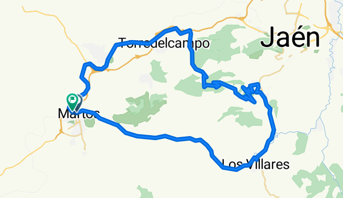
Cycling Route in Martos, Andalusia, Spain

Los Villares,puerto del aire por el pincho,fuente el palo,v.verde,Martos

1
Open this route in the Bikemap app

Open this route in the Bikemap app

Open this route in Bikemap Web

Open this route in Bikemap Web

55 km
Distance
1107 m
Ascent
1116 m
Descent
-:-- h
Duration
-- km/h
Avg. Speed
--- m
Max. Elevation

About This Route

<span style="color: #686868; font-family: 'lucida grande', arial, tahoma, verdana, sans-serif; font-size: 12px; line-height: 18px;">Salimos de Martos y vamos a Los Villares por carretera,tomamos direccion Jaen y comenzamos la subida por los jardines de Jabalcuz,conocido como Maria la guarra,entramos a la izq. para continuar por el sendero del Pincho,subirlo es bastante entretenido,pendiente pero accesible,limpio menos dos zonas de piedras sueltas que hacia arriba se hace dificil pasar montado,una vez en el puerto del aire bajamos hasta la fuente el palo,llenamos agua en el pilar de los potros,en una arqueta conocida por todos,bajamos hasta Torredelcampo y volvemos a Martos por via verde.Esta ruta comprende tramos de carretera comarcal,nacional,senderos,via verde y caminos forestales,ideal para entrenar,tambien tiene buenas rampas y bajadas rapidas.</span>

This cycling route is ideal for: MTB

You will cycle on the following surfaces: Paved Unpaved Gravel

Customize this cycling route with the Bikemap route planner.

Make it yours!

Did you know? You can use this route as a template in our cycling route planner if you don't wish to start from scratch. Customize it based on your needs to plan your perfect cycling tour.

Open it in the app