Premium Badge Download on the App Store Get it on Google Play Turn-by-turn Navigation Offline Maps Bike Type Optimized Routing Premium Maps Custom Bike Computer Export Routes Route Previews Fall Detection Premium Support

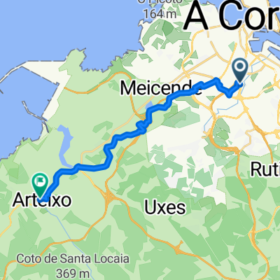
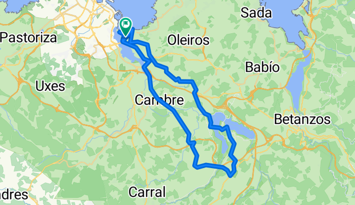
Cycling Route in A Coruña, Galicia, Spain

Santa Cristina - Cécebre - Cambre -Santa Cristina

0
Open this route in the Bikemap app

Open this route in the Bikemap app

Open this route in Bikemap Web

Open this route in Bikemap Web

40 km
Distance
568 m
Ascent
568 m
Descent
-:-- h
Duration
-- km/h
Avg. Speed
--- m
Max. Elevation

About This Route

La ruta comienza en Santa Cristina y tiene un inicio suave, subiendo inicialmente la carretera de Montrove y desviándonos en dirección a San Pedro para dirigirnos hasta el embalse de Cécebre. Una vez allí, la carretera comienza a ser un poco más dura hasta llegar a la AC542. Rápidamente nos desviaremos hacia Cécebre por una carretera en fuerte descenso y posterior fuerte ascenso aunque corto, habiendo una serie de subebajas hasta llegar a Cambre y posteriormente seguir hasta O Temple y retorno a Santa Cristina por la NVI. La parte final es totalmente favorable.

This cycling route is ideal for: Road bike

You will cycle on the following surfaces: Paved

Customize this cycling route with the Bikemap route planner.

Make it yours!

Did you know? You can use this route as a template in our cycling route planner if you don't wish to start from scratch. Customize it based on your needs to plan your perfect cycling tour.

Open it in the app