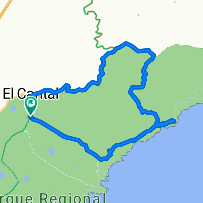
Cycling Route in Águilas, Murcia, Spain
RUTA MTB AREJOS-ANTENAS-COPE
0

Open this route in the Bikemap app

Open this route in Bikemap Web
65
km
Distance
Distance
842
m
Ascent
Ascent
845
m
Descent
Descent
-:--
h
Duration
Duration
--
km/h
Avg. Speed
Avg. Speed
---
m
Max. Elevation
Max. Elevation