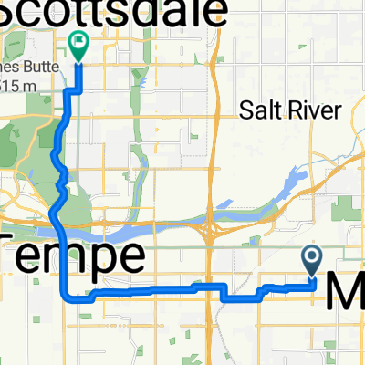
Cycling Route in Mesa, Arizona, United States of America
Usery Pass Loop
8

Open this route in the Bikemap app

Open this route in Bikemap Web
49
km
Distance
Distance
339
m
Ascent
Ascent
339
m
Descent
Descent
-:--
h
Duration
Duration
--
km/h
Avg. Speed
Avg. Speed
---
m
Max. Elevation
Max. Elevation