

Burscheid-Leverkusen-Monheim-Leichlingen-Burscheid-Hilgen
A cycling route starting in Burscheid, North Rhine-Westphalia, Germany.
Overview
About this route
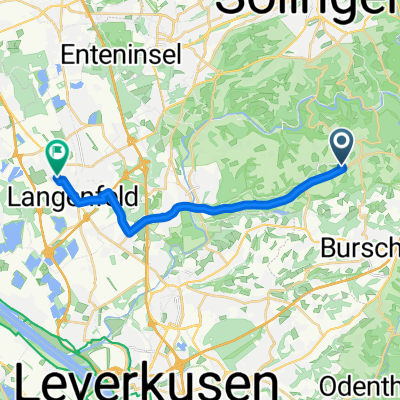
Burscheid-Hilgen über die B51 bis Sträßchen; Über Blecher nach Altenberg, Odental und Schildgen; nach Schlebusch, Alkenrath und an der BayArena vorbei Richtung Rhein. Über die Wuppermündung gehts am Rhein bis Monheim. An der S-Bahn-Station "Langenfeld" vorbei gehts über Reusrath, Leichlingen und Witzhelden wieder zurück nach Burscheid-Hilgen
- -:--
- Duration
- 55.4 km
- Distance
- 249 m
- Ascent
- 249 m
- Descent
- ---
- Avg. speed
- ---
- Avg. speed
Route quality
Waytypes & surfaces along the route
Waytypes
Busy road
18.5 km
(33 %)
Cycleway
10.5 km
(19 %)
Surfaces
Paved
44.2 km
(80 %)
Unpaved
0.6 km
(1 %)
Asphalt
42.5 km
(77 %)
Paving stones
1.4 km
(2 %)
Continue with Bikemap
Use, edit, or download this cycling route
You would like to ride Burscheid-Leverkusen-Monheim-Leichlingen-Burscheid-Hilgen or customize it for your own trip? Here is what you can do with this Bikemap route:
Free features
- Save this route as favorite or in collections
- Copy & plan your own version of this route
- Sync your route with Garmin or Wahoo
Premium features
Free trial for 3 days, or one-time payment. More about Bikemap Premium.
- Navigate this route on iOS & Android
- Export a GPX / KML file of this route
- Create your custom printout (try it for free)
- Download this route for offline navigation
Discover more Premium features.
Get Bikemap PremiumFrom our community
Other popular routes starting in Burscheid
 Dabringhausen
- Distance
- 23.2 km
- Ascent
- 308 m
- Descent
- 310 m
- Location
- Burscheid, North Rhine-Westphalia, Germany
 Witzhelden-Heckenweg
- Distance
- 17.7 km
- Ascent
- 135 m
- Descent
- 287 m
- Location
- Burscheid, North Rhine-Westphalia, Germany
 Vom Bergischen an die Wupper
- Distance
- 29.9 km
- Ascent
- 195 m
- Descent
- 254 m
- Location
- Burscheid, North Rhine-Westphalia, Germany
 RTF Rund um den Altenberger Dom
- Distance
- 111.4 km
- Ascent
- 1,261 m
- Descent
- 1,215 m
- Location
- Burscheid, North Rhine-Westphalia, Germany
 Sportplatz Zufall
- Distance
- 18.2 km
- Ascent
- 546 m
- Descent
- 547 m
- Location
- Burscheid, North Rhine-Westphalia, Germany
 Rundweg Sengbachtalsperre
- Distance
- 10.4 km
- Ascent
- 240 m
- Descent
- 238 m
- Location
- Burscheid, North Rhine-Westphalia, Germany
 Restaurant Rusticus - Langenfeld
- Distance
- 14.5 km
- Ascent
- 27 m
- Descent
- 180 m
- Location
- Burscheid, North Rhine-Westphalia, Germany
 ADFC Tour "Warm up Odenthal -Dabringhausen-Odenthal
- Distance
- 43.7 km
- Ascent
- 440 m
- Descent
- 439 m
- Location
- Burscheid, North Rhine-Westphalia, Germany
Open it in the app