Premium Badge Download on the App Store Get it on Google Play Turn-by-turn Navigation Offline Maps Bike Type Optimized Routing Premium Maps Custom Bike Computer Export Routes Route Previews Fall Detection Premium Support

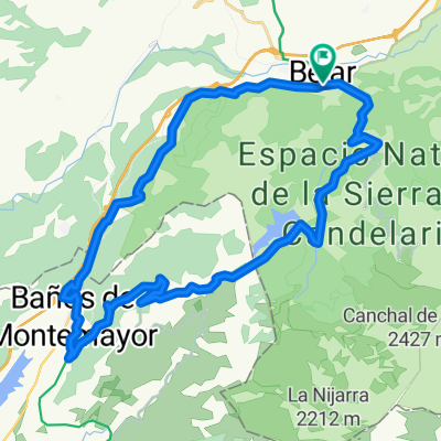
Cycling Route in Béjar, Castille and León, Spain

Bejar -peña de la cruz - peña negra - presa de nava muño - Bejar

0
Open this route in the Bikemap app

Open this route in the Bikemap app

Open this route in Bikemap Web

Open this route in Bikemap Web

18 km
Distance
722 m
Ascent
722 m
Descent
-:-- h
Duration
-- km/h
Avg. Speed
--- m
Max. Elevation

About This Route

subimos la carretera del castañar asta llano alto que es asfaltada , luego nos tiramos por el camino de tierra de la peña de la cruz antes de llegar a la peña de la cruz nos tiramos a la izquierda por el camino de peña negra , cuando llegemos a peña negra nos vamos asta los pimos y bajamos por un sendero asta llegar a un camino de tierra lo cojemos bajando sasta la carretera de la Garganta luego direcion por la carretera de Cadelario asta cojer el cruze de la presa de nava muño pasar la presa y por el camino de la derecha asta llegar a llano alto y bajar por la carretera asta bejar

This cycling route is ideal for: MTB

You will cycle on the following surfaces: Paved Unpaved

Customize this cycling route with the Bikemap route planner.

Make it yours!

Did you know? You can use this route as a template in our cycling route planner if you don't wish to start from scratch. Customize it based on your needs to plan your perfect cycling tour.

Open it in the app