

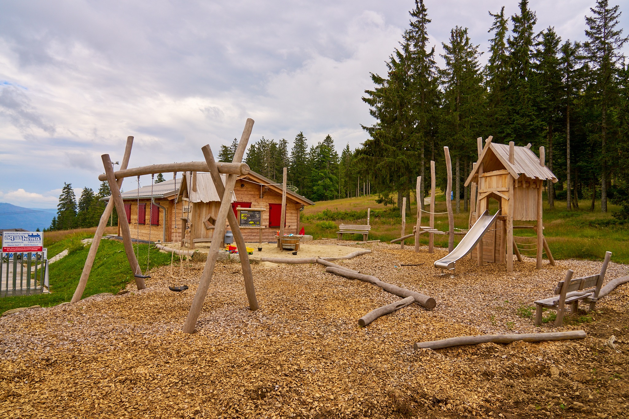
Brennes-Chamer Hütte - Arbersee
A cycling route starting in Bayerisch Eisenstein, Bavaria, Germany.
Overview
About this route
Brennes - Kleiner Arbersee - Richtung Arber auf der Forststraße. Steigungen von über 12 Prozent. Beschilderung "Kleiner Arber" folgen / Schiebepassage 1 km . Chamer Hütte. Ab hier habe ich den Wanderweg 2 a statt Auerhahnstraße probiert. Sehr anspruchsvoller Trail (Stufe 3). Technisches Können zwingend erfrorderlich, ansonsten Schiebepassage. Von dort Richtung Arbersee - am schönsten über den Wanderweg Nummer 9 (ebenfalls anspruchsvoller Trail / nur mit Fully zu fahren)
Auf der Brennesstraße zum Ausgangspunkt
- -:--
- Duration
- 14.5 km
- Distance
- 679 m
- Ascent
- 679 m
- Descent
- ---
- Avg. speed
- ---
- Avg. speed
Continue with Bikemap
Use, edit, or download this cycling route
You would like to ride Brennes-Chamer Hütte - Arbersee or customize it for your own trip? Here is what you can do with this Bikemap route:
Free features
- Save this route as favorite or in collections
- Copy & plan your own version of this route
- Sync your route with Garmin or Wahoo
Premium features
Free trial for 3 days, or one-time payment. More about Bikemap Premium.
- Navigate this route on iOS & Android
- Export a GPX / KML file of this route
- Create your custom printout (try it for free)
- Download this route for offline navigation
Discover more Premium features.
Get Bikemap PremiumFrom our community
Other popular routes starting in Bayerisch Eisenstein
 20151005_110601.gpx
- Distance
- 10.8 km
- Ascent
- 602 m
- Descent
- 621 m
- Location
- Bayerisch Eisenstein, Bavaria, Germany
 2Arber-Bodenmais
- Distance
- 12.5 km
- Ascent
- 87 m
- Descent
- 838 m
- Location
- Bayerisch Eisenstein, Bavaria, Germany
 20151006_114842.gpx
- Distance
- 6.6 km
- Ascent
- 450 m
- Descent
- 449 m
- Location
- Bayerisch Eisenstein, Bavaria, Germany
 lindberg-großer Arber
- Distance
- 22 km
- Ascent
- 166 m
- Descent
- 944 m
- Location
- Bayerisch Eisenstein, Bavaria, Germany
 viel los
- Distance
- 3 km
- Ascent
- 16 m
- Descent
- 16 m
- Location
- Bayerisch Eisenstein, Bavaria, Germany
 gr.arber-kl.arber-boenmais
- Distance
- 18 km
- Ascent
- 594 m
- Descent
- 1,015 m
- Location
- Bayerisch Eisenstein, Bavaria, Germany
 Trans_Bayerwald_Nord_Etappe_6_Zwieslerwaldhaus_-_Lam
- Distance
- 63.2 km
- Ascent
- 1,581 m
- Descent
- 1,729 m
- Location
- Bayerisch Eisenstein, Bavaria, Germany
 Bodenmais zum Berghaus Sonnenfels am Arber
- Distance
- 29.5 km
- Ascent
- 1,158 m
- Descent
- 1,179 m
- Location
- Bayerisch Eisenstein, Bavaria, Germany
Open it in the app