
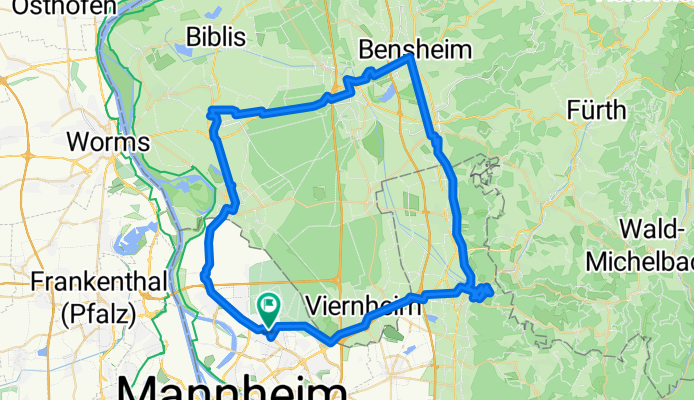
Gartenstadt-Weinheim-Bensheim-Lorsch-Bürstadt-Lampertheim-Gartenstadt
A cycling route starting in Mannheim, Baden-Württemberg, Germany.
Overview
About this route
- -:--
- Duration
- 74.7 km
- Distance
- 277 m
- Ascent
- 277 m
- Descent
- ---
- Avg. speed
- ---
- Avg. speed

Route quality
Waytypes & surfaces along the route
Waytypes
Quiet road
24.1 km
(32 %)
Busy road
12.9 km
(17 %)
Surfaces
Paved
60.3 km
(81 %)
Unpaved
2.1 km
(3 %)
Asphalt
53.7 km
(72 %)
Paving stones
4.3 km
(6 %)
Continue with Bikemap
Use, edit, or download this cycling route
You would like to ride Gartenstadt-Weinheim-Bensheim-Lorsch-Bürstadt-Lampertheim-Gartenstadt or customize it for your own trip? Here is what you can do with this Bikemap route:
Free features
- Save this route as favorite or in collections
- Copy & plan your own version of this route
- Sync your route with Garmin or Wahoo
Premium features
Free trial for 3 days, or one-time payment. More about Bikemap Premium.
- Navigate this route on iOS & Android
- Export a GPX / KML file of this route
- Create your custom printout (try it for free)
- Download this route for offline navigation
Discover more Premium features.
Get Bikemap PremiumFrom our community
Other popular routes starting in Mannheim
 Mannheim-Odenwald-Neckartal-Mannheim
- Distance
- 92.8 km
- Ascent
- 447 m
- Descent
- 449 m
- Location
- Mannheim, Baden-Württemberg, Germany
 Mannheim - Weisser Stein - Mannheim
- Distance
- 56.5 km
- Ascent
- 465 m
- Descent
- 466 m
- Location
- Mannheim, Baden-Württemberg, Germany
 Rund um Mannheim
- Distance
- 108.4 km
- Ascent
- 529 m
- Descent
- 532 m
- Location
- Mannheim, Baden-Württemberg, Germany
 Trainingsrunde
- Distance
- 69.5 km
- Ascent
- 630 m
- Descent
- 619 m
- Location
- Mannheim, Baden-Württemberg, Germany
 Königstuhlrunde
- Distance
- 53 km
- Ascent
- 473 m
- Descent
- 475 m
- Location
- Mannheim, Baden-Württemberg, Germany
 jungbusch - wiesenbach - schriesheim - jungbusch
- Distance
- 84.2 km
- Ascent
- 801 m
- Descent
- 802 m
- Location
- Mannheim, Baden-Württemberg, Germany
 Mannheim-Speyer
- Distance
- 32.9 km
- Ascent
- 60 m
- Descent
- 65 m
- Location
- Mannheim, Baden-Württemberg, Germany
 Route zu Mannheim Hauptbahnhof
- Distance
- 3 km
- Ascent
- 37 m
- Descent
- 35 m
- Location
- Mannheim, Baden-Württemberg, Germany
Open it in the app