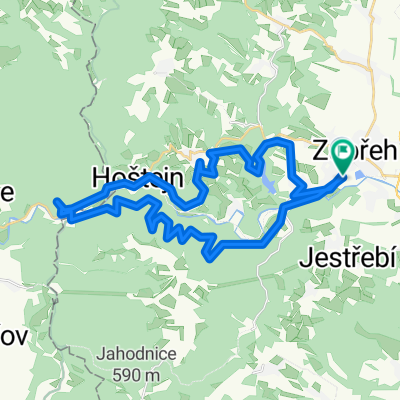
Cycling Route in Zábřeh, Olomoucký kraj, Czechia
Hoštejn - Bozéňov - Jahodnice - Petrušov - Staré Město - Hoštejn
1

Open this route in the Bikemap app

Open this route in Bikemap Web
44
km
Distance
Distance
664
m
Ascent
Ascent
666
m
Descent
Descent
-:--
h
Duration
Duration
--
km/h
Avg. Speed
Avg. Speed
---
m
Max. Elevation
Max. Elevation