

Östlich von Tangerhütte
A cycling route starting in Tangerhütte, Saxony-Anhalt, Germany.
Overview
About this route
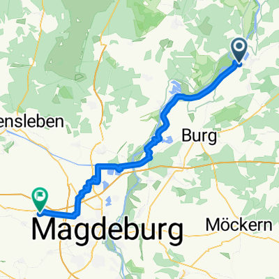
Die Route führt von Tangerhütte (Bahnhof) nach Weißewarte und Demker. Dieser Streckenabschnitt ist gut zu fahren, da neben dem Straßenverlauf ein Fahrradweg existiert. In Demker führt die Route im Kreuzungsbereich nach rechts auf den Köckter Weg zur kleinen Gemeinde Köckte. Bis nach Buch führt die Route auf einer wenig befahrenen Straße entlang. In Richtung Grieben gehts ein Stück entlang des Elbradwegs bis nach Jerchel. In Jerchel führt die Route durch den Wald nach Weißewarte. Hier habe ich den Rückweg entlang des Tangers bis nach Tangerhütte gewählt.
- -:--
- Duration
- 34.2 km
- Distance
- 58 m
- Ascent
- 56 m
- Descent
- ---
- Avg. speed
- 47 m
- Max. altitude
Route quality
Waytypes & surfaces along the route
Waytypes
Path
12 km
(35 %)
Track
10.3 km
(30 %)
Surfaces
Paved
25.4 km
(74 %)
Unpaved
6.8 km
(20 %)
Asphalt
18.6 km
(54 %)
Gravel
4.8 km
(14 %)
Continue with Bikemap
Use, edit, or download this cycling route
You would like to ride Östlich von Tangerhütte or customize it for your own trip? Here is what you can do with this Bikemap route:
Free features
- Save this route as favorite or in collections
- Copy & plan your own version of this route
- Sync your route with Garmin or Wahoo
Premium features
Free trial for 3 days, or one-time payment. More about Bikemap Premium.
- Navigate this route on iOS & Android
- Export a GPX / KML file of this route
- Create your custom printout (try it for free)
- Download this route for offline navigation
Discover more Premium features.
Get Bikemap PremiumFrom our community
Other popular routes starting in Tangerhütte
 Tag1: Tgh-Plaue
- Distance
- 48.7 km
- Ascent
- 81 m
- Descent
- 86 m
- Location
- Tangerhütte, Saxony-Anhalt, Germany
 TanHuet-MD
- Distance
- 57.6 km
- Ascent
- 109 m
- Descent
- 97 m
- Location
- Tangerhütte, Saxony-Anhalt, Germany
 Elbe-Parey nach Elbe-Parey
- Distance
- 0.7 km
- Ascent
- 7 m
- Descent
- 3 m
- Location
- Tangerhütte, Saxony-Anhalt, Germany
 Östlich von Tangerhütte
- Distance
- 34.2 km
- Ascent
- 58 m
- Descent
- 56 m
- Location
- Tangerhütte, Saxony-Anhalt, Germany
 berlin
- Distance
- 102.5 km
- Ascent
- 90 m
- Descent
- 95 m
- Location
- Tangerhütte, Saxony-Anhalt, Germany
 Tangerhütte Tangermünde
- Distance
- 47.1 km
- Ascent
- 205 m
- Descent
- 165 m
- Location
- Tangerhütte, Saxony-Anhalt, Germany
 Lange Ausfahrt durch Hohe Börde
- Distance
- 56.4 km
- Ascent
- 123 m
- Descent
- 39 m
- Location
- Tangerhütte, Saxony-Anhalt, Germany
 Mahlwinkel MD
- Distance
- 51.8 km
- Ascent
- 170 m
- Descent
- 157 m
- Location
- Tangerhütte, Saxony-Anhalt, Germany
Open it in the app