Premium Badge Download on the App Store Get it on Google Play Turn-by-turn Navigation Offline Maps Bike Type Optimized Routing Premium Maps Custom Bike Computer Export Routes Route Previews Fall Detection Premium Support

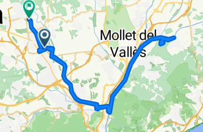
Cycling Route in Sabadell, Catalonia, Spain

Sabadell - Torre del Telègraf (Montornès del Vallès)

1
Open this route in the Bikemap app

Open this route in the Bikemap app

Open this route in Bikemap Web

Open this route in Bikemap Web

52 km
Distance
332 m
Ascent
288 m
Descent
-:-- h
Duration
-- km/h
Avg. Speed
--- m
Max. Elevation

About This Route

Esta ruta comienza en Sabadell y discurre por el río Ripoll hasta Montcada, en donde se enlaza con la carretera de la Roca. En este punto se coge el camino que en paralelo al río Bésos y se llega hasta Montornès. Hay un desvio en la carretera de la Roca entre Martorelles y Montornès en el que se puede subir a la Torre del Telègraf.

This cycling route is ideal for: MTB

You will cycle on the following surfaces: Paved Gravel

Customize this cycling route with the Bikemap route planner.

Make it yours!

Did you know? You can use this route as a template in our cycling route planner if you don't wish to start from scratch. Customize it based on your needs to plan your perfect cycling tour.

Open it in the app