Premium Badge Download on the App Store Get it on Google Play Turn-by-turn Navigation Offline Maps Bike Type Optimized Routing Premium Maps Custom Bike Computer Export Routes Route Previews Fall Detection Premium Support

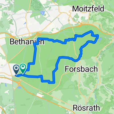
Cycling Route in Rath, North Rhine-Westphalia, Germany

Refrath - Königsforst - Moitzfeld - Herkenrath - Haus Hardt - Milchborntal - Saaler See - Frankenforst - Refrath

0
Open this route in the Bikemap app

Open this route in the Bikemap app

Open this route in Bikemap Web

Open this route in Bikemap Web

19 km
Distance
167 m
Ascent
167 m
Descent
-:-- h
Duration
-- km/h
Avg. Speed
--- m
Max. Elevation

About This Route

gediegener Streckenverlauf; mit viel Wald (befestigter Schotter) und gut befahrbaren Radwegen entlang der Straße; ohne Schnee und Eis sicherlich schneller zu schaffen ;-)

This cycling route is ideal for: MTB

You will cycle on the following surfaces: Paved Gravel

Customize this cycling route with the Bikemap route planner.

Make it yours!

Did you know? You can use this route as a template in our cycling route planner if you don't wish to start from scratch. Customize it based on your needs to plan your perfect cycling tour.

Open it in the app