Premium Badge Download on the App Store Get it on Google Play Turn-by-turn Navigation Offline Maps Bike Type Optimized Routing Premium Maps Custom Bike Computer Export Routes Route Previews Fall Detection Premium Support

Cycling Route in Taipei, Taipei, Taiwan
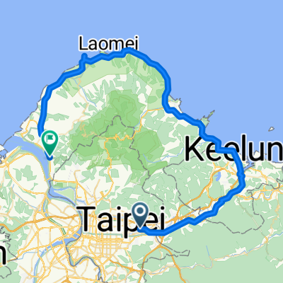
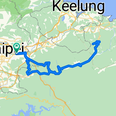
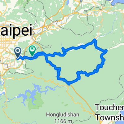
2013.3.9-一日北海岸陽金單車行

3
Open this route in the Bikemap app

Open this route in the Bikemap app

Open this route in Bikemap Web

Open this route in Bikemap Web

111 km
Distance
989 m
Ascent
981 m
Descent
-:-- h
Duration
-- km/h
Avg. Speed
--- m
Max. Elevation

About This Route

[1]台大正門→中山北路→紅樹林捷運站

[2]<span style="font-size: 10px;">紅樹林捷運站</span><span style="font-size: 10px;">→淡金路→台2→富貴角燈塔</span>

[3]富貴角燈塔→台2→台2甲→陽金公路

<span style="font-size: 10px;">[4]</span>陽金公路<span style="font-size: 10px;">→(小油坑)→行義路→中山北路</span>

<span style="font-size: 10px;">[5]</span>中山北路<span style="font-size: 10px;">→(原路返回?)→台大</span>

This cycling route is ideal for: Road bike MTB City bike

You will cycle on the following surfaces: Paved Unpaved Gravel

Customize this cycling route with the Bikemap route planner.

Make it yours!

Did you know? You can use this route as a template in our cycling route planner if you don't wish to start from scratch. Customize it based on your needs to plan your perfect cycling tour.

Open it in the app