Premium Badge Download on the App Store Get it on Google Play Turn-by-turn Navigation Offline Maps Bike Type Optimized Routing Premium Maps Custom Bike Computer Export Routes Route Previews Fall Detection Premium Support

Cycling Route in Domažlice, Plzeňský kraj, Czechia

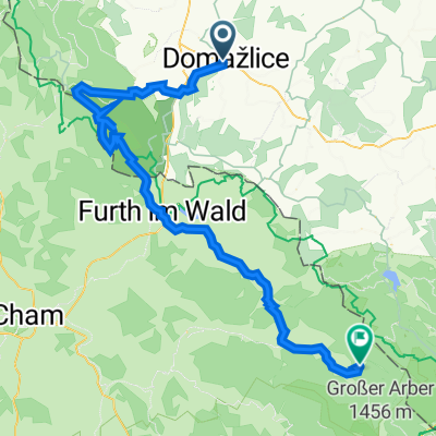
Cyklotrasa Domažlice-Ž.Ruda 55 km

0
Open this route in the Bikemap app

Open this route in the Bikemap app

Open this route in Bikemap Web

Open this route in Bikemap Web

55 km
Distance
1238 m
Ascent
888 m
Descent
-:-- h
Duration
-- km/h
Avg. Speed
--- m
Max. Elevation

About This Route

Trasa:

Domažlice vlak nádraží 418/0  (n.v/km)

Mrákov 457/5

Filipova Hora 605/9

Maxov 470/12

Všeruby 488/16

Všeruby celnice 437/17

tasa vede podél státní hranice po bývalém překrytí(signálka) panelka polní cesta

Sruby 438/20

Fleky 586/27

Kateřina 682/27

Hraniční přechod Svatá Kateřina

trasa dále pokračuje podél státní hranice

po lesní asfaltové cestě

Hraniční patníky(historické) 598/28

Zadní Chalupy 750/32

Královský Hvozd 1006/35

Stateček Pod Ostrým 957/41

Vodopád Bílá Strž 1015/43

Jezerní Hora 1090/45

Černé Jezero 1025/46

(trasa je zakreslena pře Rozvodí 1145/47

kopec se dá objet  po asfaltce na Sedlo

nemusí se stupat 120m)

Špičácké Sedlo 976/50

Železná Ruda 771/55

Celková délka trasy:55 km

asfaltové cesty

úsek Všeruby -Kateřina 11 km panelka,polní cesta

This cycling route is ideal for: MTB

You will cycle on the following surfaces: Paved Unpaved Gravel

Customize this cycling route with the Bikemap route planner.

Make it yours!

Did you know? You can use this route as a template in our cycling route planner if you don't wish to start from scratch. Customize it based on your needs to plan your perfect cycling tour.

Open it in the app