
UBX
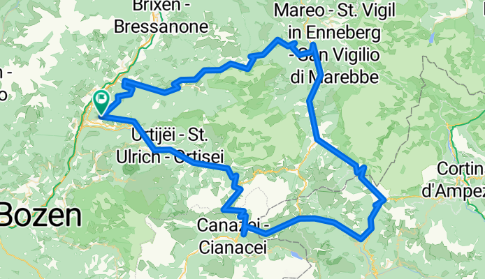
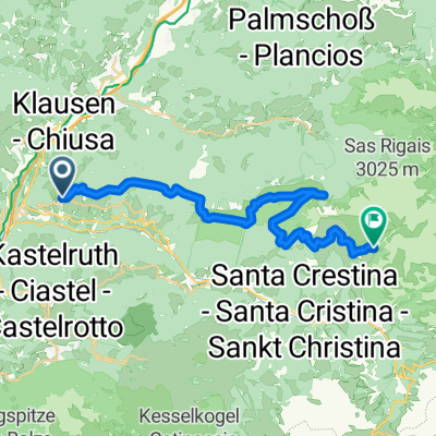
A cycling route starting in Lajen, Trentino-Alto Adige, Italy.
Overview
About this route
- -:--
- Duration
- 150.5 km
- Distance
- 3,743 m
- Ascent
- 3,743 m
- Descent
- ---
- Avg. speed
- ---
- Avg. speed
Route quality
Waytypes & surfaces along the route
Waytypes
Busy road
97.6 km
(65 %)
Road
31 km
(21 %)
Surfaces
Paved
121.8 km
(81 %)
Unpaved
1.7 km
(1 %)
Asphalt
121.6 km
(81 %)
Gravel
1 km
(<1 %)
Route highlights
Points of interest along the route

Point of interest after 36.7 km
Würzjoch

Point of interest after 36.7 km
Würzjoch

Point of interest after 77.6 km
Valparolapass

Point of interest after 109.1 km
Pordoijoch

Point of interest after 121 km
Sellajoch
Continue with Bikemap
Use, edit, or download this cycling route
You would like to ride UBX or customize it for your own trip? Here is what you can do with this Bikemap route:
Free features
- Save this route as favorite or in collections
- Copy & plan your own version of this route
- Sync your route with Garmin or Wahoo
Premium features
Free trial for 3 days, or one-time payment. More about Bikemap Premium.
- Navigate this route on iOS & Android
- Export a GPX / KML file of this route
- Create your custom printout (try it for free)
- Download this route for offline navigation
Discover more Premium features.
Get Bikemap PremiumFrom our community
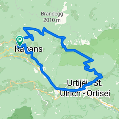
Other popular routes starting in Lajen
 IT-ST-Ulrich, Sella Ronda
- Distance
- 91.1 km
- Ascent
- 2,485 m
- Descent
- 2,481 m
- Location
- Lajen, Trentino-Alto Adige, Italy
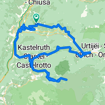
 St. Peter-St. Ulrich-Raschötz-St. Peter
- Distance
- 23.2 km
- Ascent
- 1,123 m
- Descent
- 1,123 m
- Location
- Lajen, Trentino-Alto Adige, Italy
 seiseralm
- Distance
- 56.8 km
- Ascent
- 1,895 m
- Descent
- 1,895 m
- Location
- Lajen, Trentino-Alto Adige, Italy
 seiseralm
- Distance
- 56.8 km
- Ascent
- 1,951 m
- Descent
- 1,951 m
- Location
- Lajen, Trentino-Alto Adige, Italy
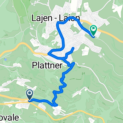 Gornegg-Lajen 001
- Distance
- 2.4 km
- Ascent
- 276 m
- Descent
- 12 m
- Location
- Lajen, Trentino-Alto Adige, Italy
 Sellaronda von St. Peter aus
- Distance
- 91.4 km
- Ascent
- 2,969 m
- Descent
- 2,882 m
- Location
- Lajen, Trentino-Alto Adige, Italy
 Lajen 04 27.5 Albions
- Distance
- 27.4 km
- Ascent
- 972 m
- Descent
- 970 m
- Location
- Lajen, Trentino-Alto Adige, Italy
 Ronda Trentino - 1. Tag
- Distance
- 27.5 km
- Ascent
- 1,795 m
- Descent
- 854 m
- Location
- Lajen, Trentino-Alto Adige, Italy
Open it in the app