

Canada, Ostküste
A cycling route starting in Innisfil, Ontario, Canada.
Overview
About this route
Schöne Route
- -:--
- Duration
- 4,671.7 km
- Distance
- 2,071 m
- Ascent
- 2,071 m
- Descent
- ---
- Avg. speed
- ---
- Avg. speed

Continue with Bikemap
Use, edit, or download this cycling route
You would like to ride Canada, Ostküste or customize it for your own trip? Here is what you can do with this Bikemap route:
Free features
- Save this route as favorite or in collections
- Copy & plan your own version of this route
- Sync your route with Garmin or Wahoo
Premium features
Free trial for 3 days, or one-time payment. More about Bikemap Premium.
- Navigate this route on iOS & Android
- Export a GPX / KML file of this route
- Create your custom printout (try it for free)
- Download this route for offline navigation
Discover more Premium features.
Get Bikemap PremiumFrom our community
Other popular routes starting in Innisfil
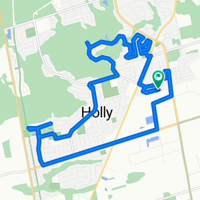 Easy ride in Barrie
- Distance
- 15.7 km
- Ascent
- 71 m
- Descent
- 70 m
- Location
- Innisfil, Ontario, Canada
 Lockhart Whisker
- Distance
- 12.4 km
- Ascent
- 39 m
- Descent
- 41 m
- Location
- Innisfil, Ontario, Canada
 Simcoe loop
- Distance
- 151.7 km
- Ascent
- 563 m
- Descent
- 563 m
- Location
- Innisfil, Ontario, Canada
 Canada, Ostküste
- Distance
- 4,671.7 km
- Ascent
- 2,071 m
- Descent
- 2,071 m
- Location
- Innisfil, Ontario, Canada
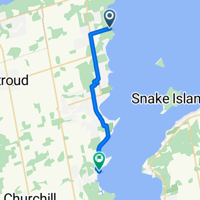
 6355 Yonge St, Churchill to 6355 Yonge St, Churchill
- Distance
- 119.9 km
- Ascent
- 220 m
- Descent
- 220 m
- Location
- Innisfil, Ontario, Canada
 Simcoe Trail
- Distance
- 139.9 km
- Ascent
- 632 m
- Descent
- 656 m
- Location
- Innisfil, Ontario, Canada
 Ride #1: 03.22.21
- Distance
- 7.4 km
- Ascent
- 27 m
- Descent
- 25 m
- Location
- Innisfil, Ontario, Canada
 9 Gregory Crt, Barrie to 575 Dominion Ave, Midland
- Distance
- 74.7 km
- Ascent
- 403 m
- Descent
- 454 m
- Location
- Innisfil, Ontario, Canada
Open it in the app