Premium Badge Download on the App Store Get it on Google Play Turn-by-turn Navigation Offline Maps Bike Type Optimized Routing Premium Maps Custom Bike Computer Export Routes Route Previews Fall Detection Premium Support

Cycling Route in Šatov, South Moravian, Czechia
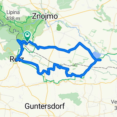
SATOV-ZNOJMO-SATOV

1
Open this route in the Bikemap app

Open this route in the Bikemap app

Open this route in Bikemap Web

Open this route in Bikemap Web

37 km
Distance
439 m
Ascent
439 m
Descent
-:-- h
Duration
-- km/h
Avg. Speed
--- m
Max. Elevation

About This Route

Trasa vede ze Šatova přes Havraníky, Popice, Konice, Znojmo,Králův stolec /vyhlídka do kaňonu Dyje/ Mašovice, Podmolí, Šobes /nádherné vinice/, Hnanice zpět do Šatova. V mapách je většinou značena číslem 5000, v terénu modrou cykloznačkou. Vhodné pro horské i trekové kolo. Občerstvení mimo jiné v Hospůdce U Rybníka v Podmolí.

This cycling route is ideal for: MTB

You will cycle on the following surfaces: Paved Gravel

Customize this cycling route with the Bikemap route planner.

Make it yours!

Did you know? You can use this route as a template in our cycling route planner if you don't wish to start from scratch. Customize it based on your needs to plan your perfect cycling tour.

Open it in the app