Premium Badge Download on the App Store Get it on Google Play Turn-by-turn Navigation Offline Maps Bike Type Optimized Routing Premium Maps Custom Bike Computer Export Routes Route Previews Fall Detection Premium Support

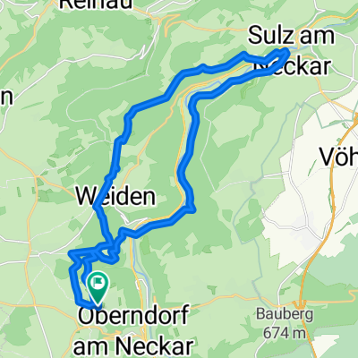
Cycling Route in Oberndorf, Baden-Württemberg, Germany

Kleine Runde mit kurzen Trails und kleinen Anstiegen

1
Open this route in the Bikemap app

Open this route in the Bikemap app

Open this route in Bikemap Web

Open this route in Bikemap Web

16 km
Distance
172 m
Ascent
172 m
Descent
-:-- h
Duration
-- km/h
Avg. Speed
--- m
Max. Elevation

About This Route

Von Hochmössingen geht es Richtung MArschalkenzimmern, vorbei an Wiesen und Feldern zu einem kleinen abgelegen Trail im Wald. Dann weiter zur Ruine Brandeck bis zum Golfplatz von Alpirsbach. Anschließend über Römlinsdorf zurück nach Hochmössingen.

This cycling route is ideal for: MTB

You will cycle on the following surfaces: Paved Unpaved Gravel

Customize this cycling route with the Bikemap route planner.

Make it yours!

Did you know? You can use this route as a template in our cycling route planner if you don't wish to start from scratch. Customize it based on your needs to plan your perfect cycling tour.

Open it in the app