

13-6 Sud2 e1
A cycling route starting in Malá Skála, Liberecký kraj, Czechia.
Overview
About this route
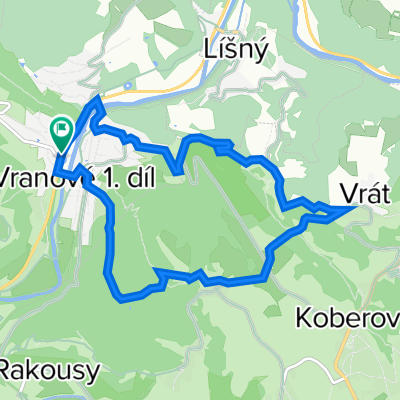
Der erste Tag unserer zweiten Radtour ins böhmische Grenzgebirge führte von Turnau über den Kozakov, Starkenbach, Hohenelbe, den Schwarzen Berg im Riesengebirge nach Marschendorf und zur Kolbenkammbaude.
- -:--
- Duration
- 96.3 km
- Distance
- 1,910 m
- Ascent
- 1,304 m
- Descent
- ---
- Avg. speed
- ---
- Max. altitude

Route quality
Waytypes & surfaces along the route
Waytypes
Track
43.3 km
(45 %)
Road
24 km
(25 %)
Surfaces
Paved
40.3 km
(42 %)
Unpaved
17.3 km
(18 %)
Asphalt
20.5 km
(21 %)
Paved (undefined)
19.8 km
(21 %)
Continue with Bikemap
Use, edit, or download this cycling route
You would like to ride 13-6 Sud2 e1 or customize it for your own trip? Here is what you can do with this Bikemap route:
Free features
- Save this route as favorite or in collections
- Copy & plan your own version of this route
- Split it into stages to create a multi-day tour
- Sync your route with Garmin or Wahoo
Premium features
Free trial for 3 days, or one-time payment. More about Bikemap Premium.
- Navigate this route on iOS & Android
- Export a GPX / KML file of this route
- Create your custom printout (try it for free)
- Download this route for offline navigation
Discover more Premium features.
Get Bikemap PremiumFrom our community
Other popular routes starting in Malá Skála
 Besedice-Besedice
- Distance
- 18 km
- Ascent
- 409 m
- Descent
- 494 m
- Location
- Malá Skála, Liberecký kraj, Czechia
 Jarni okruh
- Distance
- 137.4 km
- Ascent
- 1,039 m
- Descent
- 1,040 m
- Location
- Malá Skála, Liberecký kraj, Czechia
 Malá Skála - Hradec Králové
- Distance
- 94.2 km
- Ascent
- 905 m
- Descent
- 941 m
- Location
- Malá Skála, Liberecký kraj, Czechia
 Tag 4 Mala Skala - Pomezni boudy
- Distance
- 115.3 km
- Ascent
- 1,657 m
- Descent
- 876 m
- Location
- Malá Skála, Liberecký kraj, Czechia
 MALA SKALA - 10 km pętla
- Distance
- 8.9 km
- Ascent
- 353 m
- Descent
- 354 m
- Location
- Malá Skála, Liberecký kraj, Czechia
 Horky - Kozakov okruh v01
- Distance
- 32.6 km
- Ascent
- 914 m
- Descent
- 916 m
- Location
- Malá Skála, Liberecký kraj, Czechia
 Fietsen door het Boheems Paradijs- etappe 5
- Distance
- 35.5 km
- Ascent
- 614 m
- Descent
- 500 m
- Location
- Malá Skála, Liberecký kraj, Czechia
 13-6 Sud2 e1
- Distance
- 96.3 km
- Ascent
- 1,910 m
- Descent
- 1,304 m
- Location
- Malá Skála, Liberecký kraj, Czechia
Open it in the app