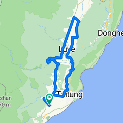
Cycling Route in Taitung City, Taiwan, Taiwan
台東試車之旅~下雨折回路線
0

Open this route in the Bikemap app

Open this route in Bikemap Web
55
km
Distance
Distance
987
m
Ascent
Ascent
899
m
Descent
Descent
-:--
h
Duration
Duration
--
km/h
Avg. Speed
Avg. Speed
336
m
Max. Elevation
Max. Elevation


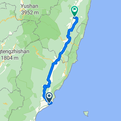
![[非官方] 瘋300推測路線](https://media.bikemap.net/routes/723109/staticmaps/in_f70ad58a-d8f4-46cf-9128-c410edf93ee9_400x400_bikemap-2021-3D-static.png)