Cycling Route in Oberhausen, North Rhine-Westphalia, Germany
Alpen 2
0

Open this route in the Bikemap app

Open this route in Bikemap Web
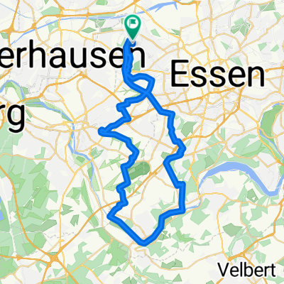
86
km
Distance
Distance
398
m
Ascent
Ascent
400
m
Descent
Descent
-:--
h
Duration
Duration
--
km/h
Avg. Speed
Avg. Speed
64
m
Max. Elevation
Max. Elevation