Premium Badge Download on the App Store Get it on Google Play Turn-by-turn Navigation Offline Maps Bike Type Optimized Routing Premium Maps Custom Bike Computer Export Routes Route Previews Fall Detection Premium Support

Cycling Route in Stilfs, Trentino-Alto Adige, Italy

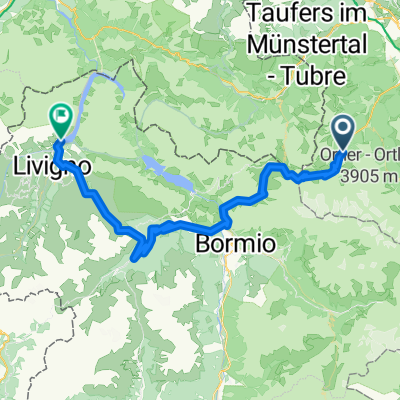
Mals, Vintschgau - Stilfserjoch- Umbrailpass - Mals

0
Open this route in the Bikemap app

Open this route in the Bikemap app

Open this route in Bikemap Web

Open this route in Bikemap Web

81 km
Distance
2369 m
Ascent
2369 m
Descent
-:-- h
Duration
-- km/h
Avg. Speed
--- m
Max. Elevation

About This Route

Von Mals aus startend eine super Runde mit guten Strassen, bis auf das Stilfserjoch. Dort hat man bei guten Wetter einen super Ausblick. Vom Stilffserjoch auf der anderen Seite über den Umbrailpass runter hat man ca. 5 Km eine feste aber nicht geterte Strasse. Dies stellt aber auch für Rennräder zum hoch- und runterfahren kein Problem da.

(cloned from route 260002)

This cycling route is ideal for: Road bike MTB

You will cycle on the following surfaces: Paved

Customize this cycling route with the Bikemap route planner.

Make it yours!

Did you know? You can use this route as a template in our cycling route planner if you don't wish to start from scratch. Customize it based on your needs to plan your perfect cycling tour.

Open it in the app