Cycling Route in Kleinkirchheim, Carinthia, Austria
Bad Kleinkirchheim - Maltatal - Kölbreinsperre
1

Open this route in the Bikemap app

Open this route in Bikemap Web
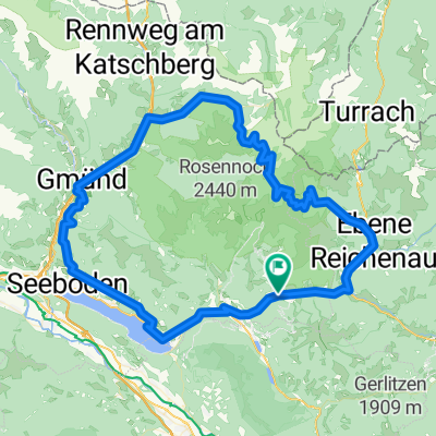
69
km
Distance
Distance
1355
m
Ascent
Ascent
524
m
Descent
Descent
-:--
h
Duration
Duration
--
km/h
Avg. Speed
Avg. Speed
---
m
Max. Elevation
Max. Elevation