

Etschradweg Etappe 6: Auer (über Montiggler-Seen) nach Bozen
A cycling route starting in Auer, Trentino-Alto Adige, Italy.
Overview
About this route
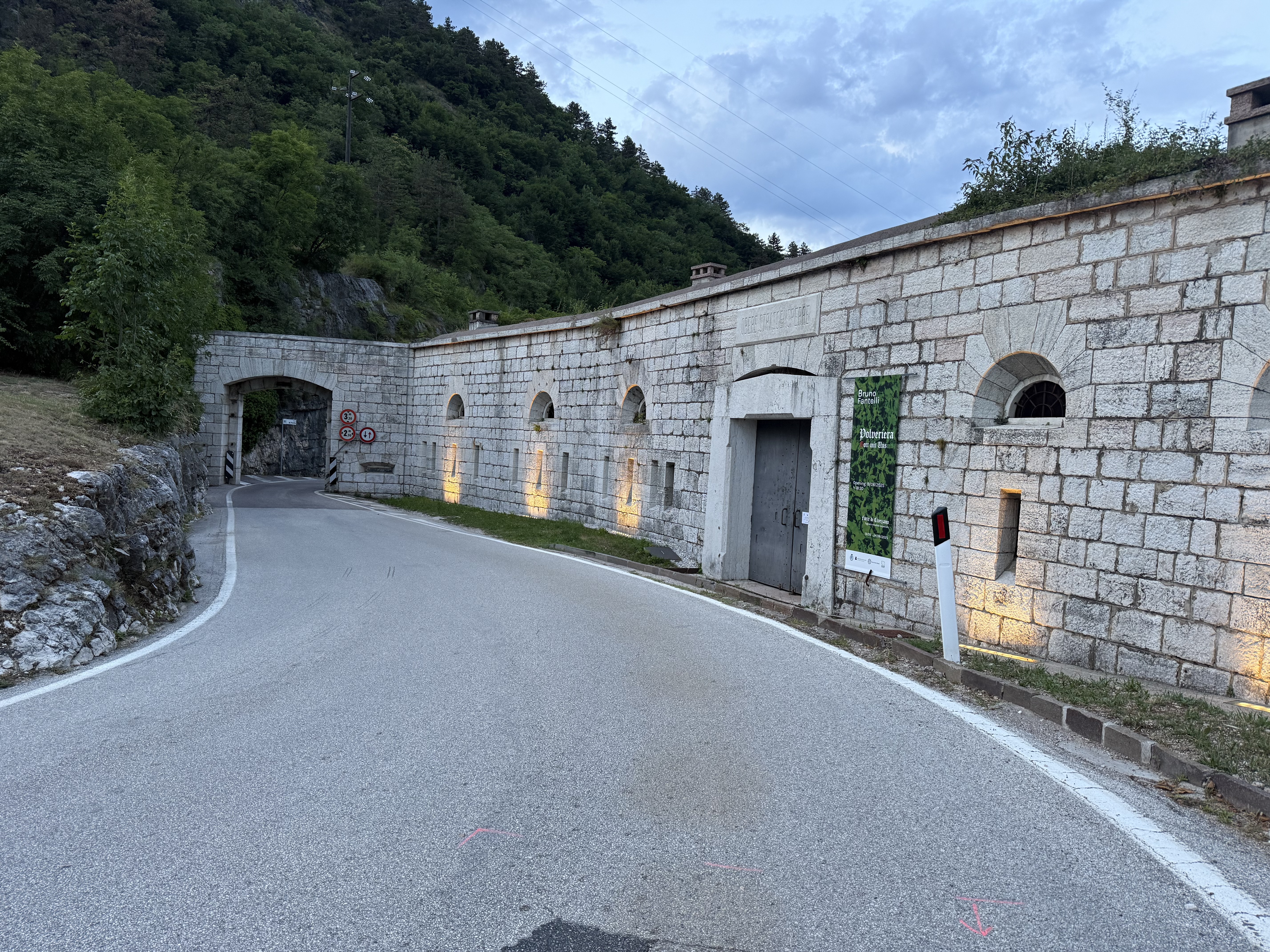
Etappe 6 Start war Palain 1, 39040 Auer. Diese Etappe ist sehr reizvoll und weißt einige längere Anstiege auf. Die Etappe führte wieder durch Obstgärten großteils auf Schotterwegen an schönen Ortschaften über Montiggl an den beiden idyllischen Montiggler Seen vorbei und bildete einen anspruchsvollen Abschluss zu einer wunderschönen Radreise in Südtirol. Das Etappenziel war das Hotel Scala Stiegl in der Brennerstraße 11, 39100 Bozen.
Gesamtroute Etsch Radweg-Daten zirka:<br /> - 2.380 Höhenmeter und<br /> - 400 Kilometer<br /> - -:--
- Duration
- 32.6 km
- Distance
- 404 m
- Ascent
- 371 m
- Descent
- ---
- Avg. speed
- ---
- Avg. speed

Route quality
Waytypes & surfaces along the route
Waytypes
Cycleway
8 km
(25 %)
Quiet road
7.9 km
(24 %)
Surfaces
Paved
21 km
(64 %)
Unpaved
4.5 km
(14 %)
Asphalt
19.4 km
(59 %)
Gravel
3.2 km
(10 %)
Continue with Bikemap
Use, edit, or download this cycling route
You would like to ride Etschradweg Etappe 6: Auer (über Montiggler-Seen) nach Bozen or customize it for your own trip? Here is what you can do with this Bikemap route:
Free features
- Save this route as favorite or in collections
- Copy & plan your own version of this route
- Sync your route with Garmin or Wahoo
Premium features
Free trial for 3 days, or one-time payment. More about Bikemap Premium.
- Navigate this route on iOS & Android
- Export a GPX / KML file of this route
- Create your custom printout (try it for free)
- Download this route for offline navigation
Discover more Premium features.
Get Bikemap PremiumFrom our community
Other popular routes starting in Auer
 FRCastel Auer - Bozen_Etsch
- Distance
- 23.2 km
- Ascent
- 160 m
- Descent
- 146 m
- Location
- Auer, Trentino-Alto Adige, Italy
 Etschtal - Flach, aber schön
- Distance
- 61.8 km
- Ascent
- 398 m
- Descent
- 398 m
- Location
- Auer, Trentino-Alto Adige, Italy
 I_Südtirol_Auer-Montan-MariaSchnee_RR-20km-910hm
- Distance
- 20 km
- Ascent
- 1,014 m
- Descent
- 1,013 m
- Location
- Auer, Trentino-Alto Adige, Italy
 Tour Caldaro
- Distance
- 54.6 km
- Ascent
- 404 m
- Descent
- 424 m
- Location
- Auer, Trentino-Alto Adige, Italy
 Tag 4 Castelnovo Bariano
- Distance
- 213.7 km
- Ascent
- 134 m
- Descent
- 344 m
- Location
- Auer, Trentino-Alto Adige, Italy
 FR CastelAuer - Bozen_Montiggler Seen
- Distance
- 30.6 km
- Ascent
- 555 m
- Descent
- 541 m
- Location
- Auer, Trentino-Alto Adige, Italy
 Pfatten nach Viale Roma, Levico Terme (Löweneck)
- Distance
- 63.6 km
- Ascent
- 602 m
- Descent
- 304 m
- Location
- Auer, Trentino-Alto Adige, Italy
 Ora - Burgstall - 41 km
- Distance
- 40.8 km
- Ascent
- 277 m
- Descent
- 282 m
- Location
- Auer, Trentino-Alto Adige, Italy
Open it in the app