

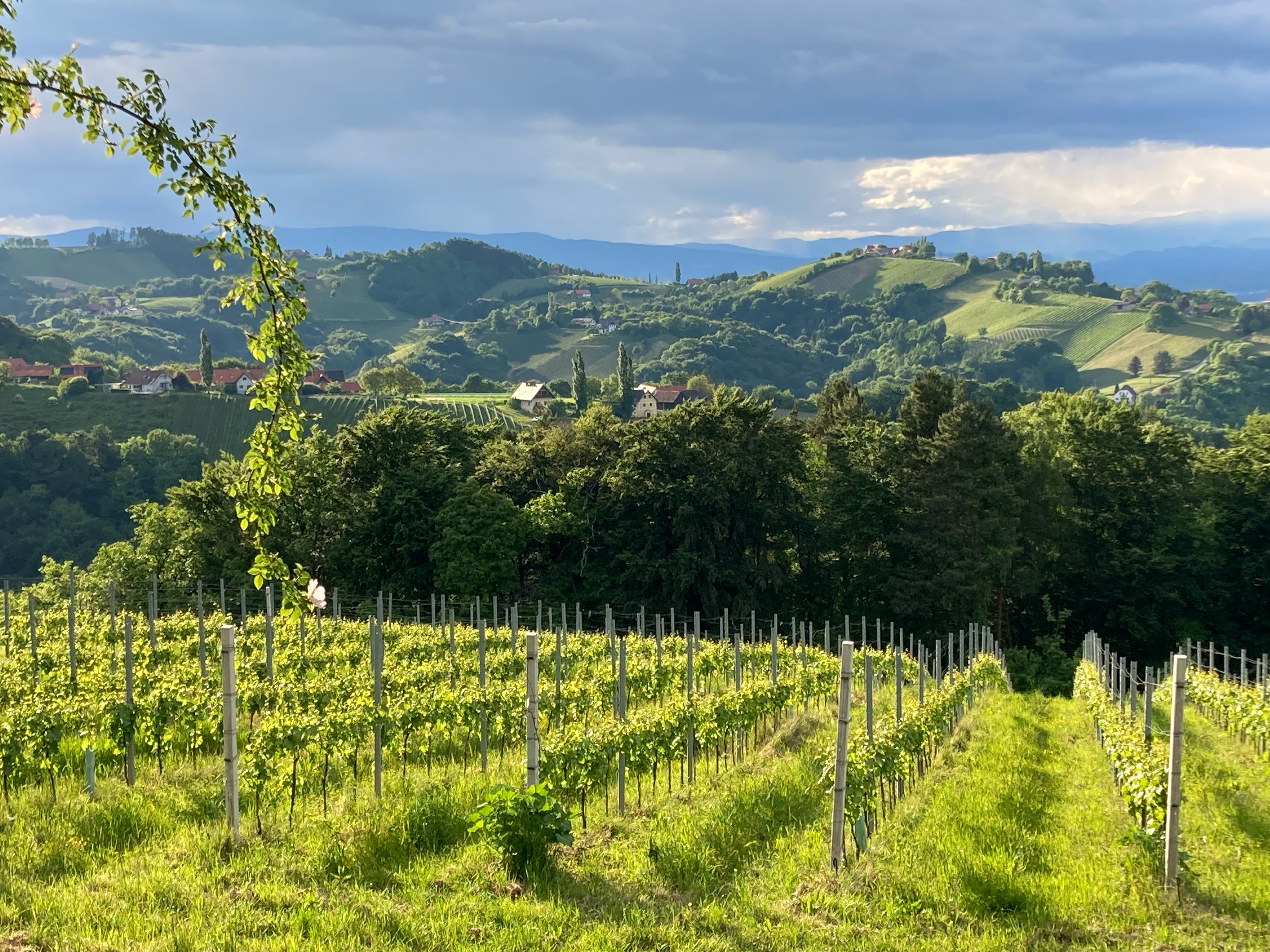
Leibnitz - Soboth Variante 2
A cycling route starting in Leibnitz, Styria, Styria, Austria.
Overview
About this route
Leibnitz - Soboth Stausee über Gleinstätten
- -:--
- Duration
- 54.4 km
- Distance
- 1,110 m
- Ascent
- 275 m
- Descent
- ---
- Avg. speed
- ---
- Avg. speed
Route quality
Waytypes & surfaces along the route
Waytypes
Busy road
40.3 km
(74 %)
Cycleway
6.2 km
(11 %)
Surfaces
Paved
45.9 km
(84 %)
Asphalt
45.8 km
(84 %)
Paving stones
0.1 km
(<1 %)
Undefined
8.5 km
(16 %)
Continue with Bikemap
Use, edit, or download this cycling route
You would like to ride Leibnitz - Soboth Variante 2 or customize it for your own trip? Here is what you can do with this Bikemap route:
Free features
- Save this route as favorite or in collections
- Copy & plan your own version of this route
- Sync your route with Garmin or Wahoo
Premium features
Free trial for 3 days, or one-time payment. More about Bikemap Premium.
- Navigate this route on iOS & Android
- Export a GPX / KML file of this route
- Create your custom printout (try it for free)
- Download this route for offline navigation
Discover more Premium features.
Get Bikemap PremiumFrom our community
Other popular routes starting in Leibnitz
 Stiefingtalrunde 2
- Distance
- 47.2 km
- Ascent
- 350 m
- Descent
- 353 m
- Location
- Leibnitz, Styria, Styria, Austria
 Etappe 07 Murradweg Leibnitz - Bad Radkersburg - Etappe 07 Murradweg Leibnitz - Bad Radkersburg
- Distance
- 51.5 km
- Ascent
- 140 m
- Descent
- 200 m
- Location
- Leibnitz, Styria, Styria, Austria
 Ö: Steiermark Radrunde
- Distance
- 402.1 km
- Ascent
- 1,378 m
- Descent
- 1,380 m
- Location
- Leibnitz, Styria, Styria, Austria
 Großkleinrunde 2
- Distance
- 45.1 km
- Ascent
- 524 m
- Descent
- 525 m
- Location
- Leibnitz, Styria, Styria, Austria
 1. Tag, 17.05.25: Leibniz-Deutschlandsberg-Stainz
- Distance
- 49.8 km
- Ascent
- 556 m
- Descent
- 481 m
- Location
- Leibnitz, Styria, Styria, Austria
 Leibnitz nach Stainz
- Distance
- 53.9 km
- Ascent
- 1,388 m
- Descent
- 1,319 m
- Location
- Leibnitz, Styria, Styria, Austria
 Leibnitz Kranach Gamlitz Grubtal
- Distance
- 49.5 km
- Ascent
- 640 m
- Descent
- 642 m
- Location
- Leibnitz, Styria, Styria, Austria
 Percorso ciclabile della regione vinicola della Stiria - Percorso ciclabile della regione vinicola della Stiria
- Distance
- 402.4 km
- Ascent
- 3,651 m
- Descent
- 3,651 m
- Location
- Leibnitz, Styria, Styria, Austria
Open it in the app