

Race Across Styria
A cycling route starting in Altaussee, Styria, Austria.
Overview
About this route
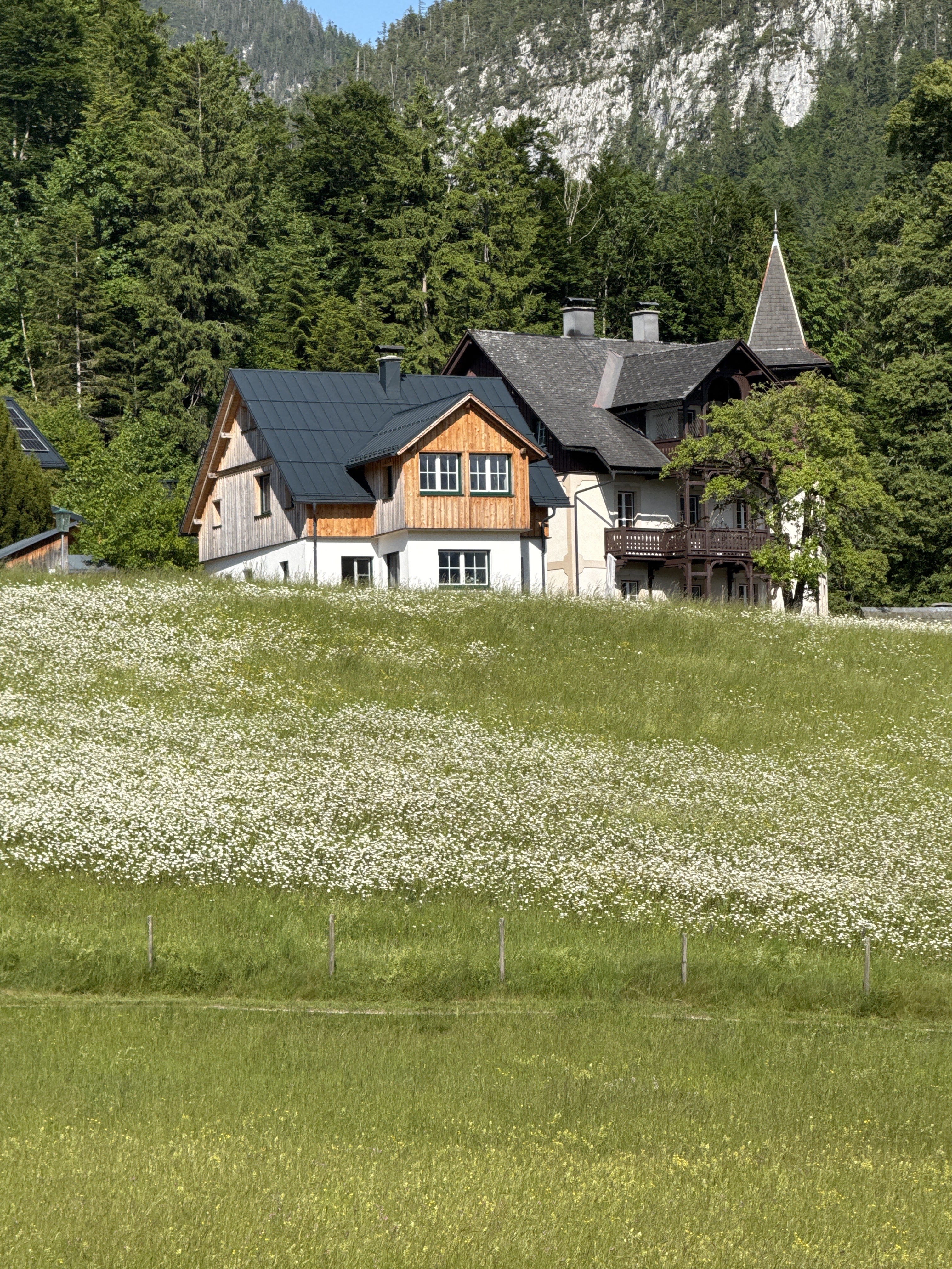
Von der nördlichsten Gemeinde der Steiermark Altaussee in die südlichste Badradkersburg.
- -:--
- Duration
- 277.7 km
- Distance
- 1,835 m
- Ascent
- 2,296 m
- Descent
- ---
- Avg. speed
- 850 m
- Avg. speed

Route quality
Waytypes & surfaces along the route
Waytypes
Busy road
146.2 km
(53 %)
Cycleway
40.4 km
(15 %)
Surfaces
Paved
178 km
(64 %)
Unpaved
10.5 km
(4 %)
Asphalt
168.1 km
(61 %)
Paved (undefined)
8.4 km
(3 %)
Continue with Bikemap
Use, edit, or download this cycling route
You would like to ride Race Across Styria or customize it for your own trip? Here is what you can do with this Bikemap route:
Free features
- Save this route as favorite or in collections
- Copy & plan your own version of this route
- Sync your route with Garmin or Wahoo
Premium features
Free trial for 3 days, or one-time payment. More about Bikemap Premium.
- Navigate this route on iOS & Android
- Export a GPX / KML file of this route
- Create your custom printout (try it for free)
- Download this route for offline navigation
Discover more Premium features.
Get Bikemap PremiumFrom our community
Other popular routes starting in Altaussee
 altaussee runde
- Distance
- 17.9 km
- Ascent
- 571 m
- Descent
- 566 m
- Location
- Altaussee, Styria, Austria
 Vrchol Greimut + jezera
- Distance
- 36 km
- Ascent
- 345 m
- Descent
- 1,149 m
- Location
- Altaussee, Styria, Austria
 Altaussee-Blaa-Alm-Bad Aussee-Narzissenfest 2025. 🚴♂️🚴
- Distance
- 21.3 km
- Ascent
- 402 m
- Descent
- 398 m
- Location
- Altaussee, Styria, Austria
 SKG lang 4: Fischerndorf-Gmunden; 53,3km 440hm
- Distance
- 53.3 km
- Ascent
- 673 m
- Descent
- 975 m
- Location
- Altaussee, Styria, Austria
 Route im Ausseerland mit Heinz
- Distance
- 32.5 km
- Ascent
- 683 m
- Descent
- 681 m
- Location
- Altaussee, Styria, Austria
 Grimming Rundfahrt
- Distance
- 45.3 km
- Ascent
- 704 m
- Descent
- 708 m
- Location
- Altaussee, Styria, Austria
 Grimming Rundfahrt
- Distance
- 10.7 km
- Ascent
- 882 m
- Descent
- 19 m
- Location
- Altaussee, Styria, Austria
 Sandling TOur CLONED FROM ROUTE 542276
- Distance
- 35.1 km
- Ascent
- 1,073 m
- Descent
- 1,073 m
- Location
- Altaussee, Styria, Austria
Open it in the app