
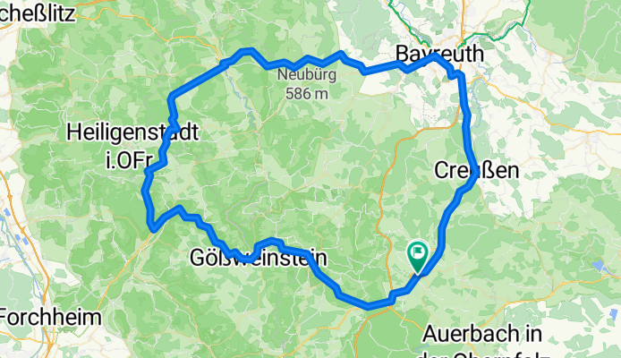
PEG-BT-Hollfeld-EBS-PEG
A cycling route starting in Pegnitz, Bavaria, Germany.
Overview
About this route
Eine Runde durch die Fränkische
- -:--
- Duration
- 107.8 km
- Distance
- 743 m
- Ascent
- 745 m
- Descent
- ---
- Avg. speed
- ---
- Avg. speed

Route quality
Waytypes & surfaces along the route
Waytypes
Busy road
87.3 km
(81 %)
Quiet road
10.1 km
(9 %)
Surfaces
Paved
81.1 km
(75 %)
Unpaved
0.3 km
(<1 %)
Asphalt
80.7 km
(75 %)
Paved (undefined)
0.4 km
(<1 %)
Continue with Bikemap
Use, edit, or download this cycling route
You would like to ride PEG-BT-Hollfeld-EBS-PEG or customize it for your own trip? Here is what you can do with this Bikemap route:
Free features
- Save this route as favorite or in collections
- Copy & plan your own version of this route
- Sync your route with Garmin or Wahoo
Premium features
Free trial for 3 days, or one-time payment. More about Bikemap Premium.
- Navigate this route on iOS & Android
- Export a GPX / KML file of this route
- Create your custom printout (try it for free)
- Download this route for offline navigation
Discover more Premium features.
Get Bikemap PremiumFrom our community
Other popular routes starting in Pegnitz
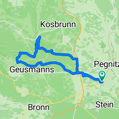 Rundweg Pegnitz Elbersberg Hollenberg
- Distance
- 19.2 km
- Ascent
- 332 m
- Descent
- 332 m
- Location
- Pegnitz, Bavaria, Germany
 Pegnitz - Wander
- Distance
- 4 km
- Ascent
- 117 m
- Descent
- 115 m
- Location
- Pegnitz, Bavaria, Germany
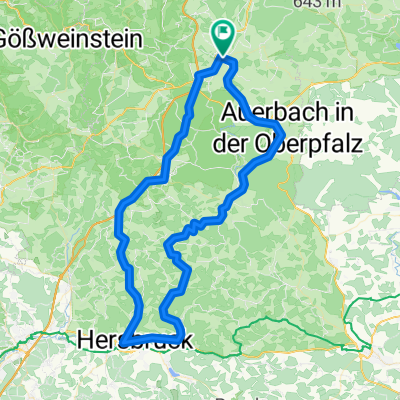 Von Pegnitz durch den Veldensteiner Forst
- Distance
- 83.7 km
- Ascent
- 624 m
- Descent
- 575 m
- Location
- Pegnitz, Bavaria, Germany
 Pegnitz - Bayreuth
- Distance
- 90.7 km
- Ascent
- 570 m
- Descent
- 652 m
- Location
- Pegnitz, Bavaria, Germany
 Pegnitz Weidlwang Horlach
- Distance
- 20.6 km
- Ascent
- 244 m
- Descent
- 243 m
- Location
- Pegnitz, Bavaria, Germany
 Bronn-Michelfeld
- Distance
- 10.7 km
- Ascent
- 162 m
- Descent
- 176 m
- Location
- Pegnitz, Bavaria, Germany
 Veldensteiner Forst Runde
- Distance
- 45.1 km
- Ascent
- 535 m
- Descent
- 535 m
- Location
- Pegnitz, Bavaria, Germany
 Schiem-a-no.de: Tour1/Pegnitz-Pottenstein
- Distance
- 35.1 km
- Ascent
- 647 m
- Descent
- 647 m
- Location
- Pegnitz, Bavaria, Germany
Open it in the app