

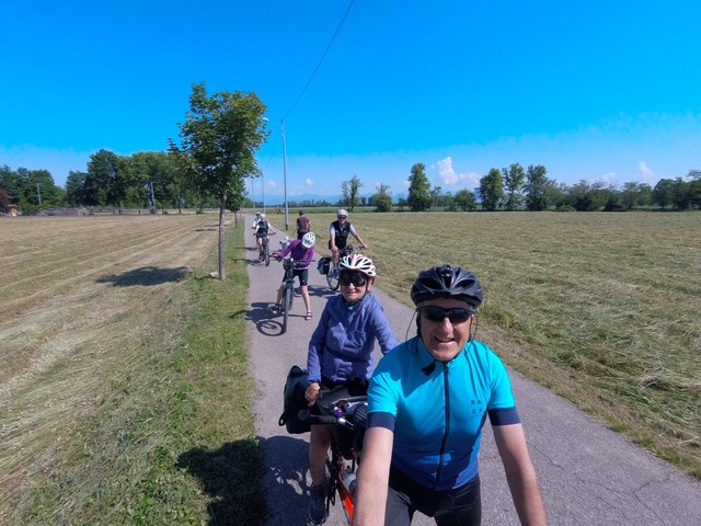
Il sentiero di Honio (Colzate - Bondo - Riso)
A cycling route starting in Bergamo, Lombardy, Italy.
Overview
About this route
Ciclabile Val Seriana fino a Colzate, S. Patrizio, Bondo, Barbata e discesa sulla val del Riso
(cloned from route 2367127)- -:--
- Duration
- 72 km
- Distance
- 760 m
- Ascent
- 760 m
- Descent
- ---
- Avg. speed
- ---
- Avg. speed

Route quality
Waytypes & surfaces along the route
Waytypes
Cycleway
35.7 km
(50 %)
Quiet road
14.3 km
(20 %)
Surfaces
Paved
34.4 km
(48 %)
Unpaved
32.3 km
(45 %)
Asphalt
31.9 km
(44 %)
Gravel
30.1 km
(42 %)
Continue with Bikemap
Use, edit, or download this cycling route
You would like to ride Il sentiero di Honio (Colzate - Bondo - Riso) or customize it for your own trip? Here is what you can do with this Bikemap route:
Free features
- Save this route as favorite or in collections
- Copy & plan your own version of this route
- Sync your route with Garmin or Wahoo
Premium features
Free trial for 3 days, or one-time payment. More about Bikemap Premium.
- Navigate this route on iOS & Android
- Export a GPX / KML file of this route
- Create your custom printout (try it for free)
- Download this route for offline navigation
Discover more Premium features.
Get Bikemap PremiumFrom our community
Other popular routes starting in Bergamo
 Ciclopedonale dei Boschi e dei Fontanili
- Distance
- 45.3 km
- Ascent
- 114 m
- Descent
- 96 m
- Location
- Bergamo, Lombardy, Italy
 Baite Ducone - Lerano
- Distance
- 69.3 km
- Ascent
- 667 m
- Descent
- 667 m
- Location
- Bergamo, Lombardy, Italy
 S. Pellegrino Chiesina B.V. Lourdes
- Distance
- 54.1 km
- Ascent
- 268 m
- Descent
- 243 m
- Location
- Bergamo, Lombardy, Italy
 Sentieri tra Bergamo e Ranica
- Distance
- 21.5 km
- Ascent
- 255 m
- Descent
- 255 m
- Location
- Bergamo, Lombardy, Italy
 Baite dei Mùch
- Distance
- 54.7 km
- Ascent
- 1,204 m
- Descent
- 1,203 m
- Location
- Bergamo, Lombardy, Italy
 Ceresola- Berbenno- S. Omobono
- Distance
- 58.9 km
- Ascent
- 1,152 m
- Descent
- 1,151 m
- Location
- Bergamo, Lombardy, Italy
 Monasterolo- Buca del Corno- Grena di Zandobbio
- Distance
- 61.6 km
- Ascent
- 686 m
- Descent
- 686 m
- Location
- Bergamo, Lombardy, Italy
 Parco Alpini S. Valeria Mornico al Serio
- Distance
- 52.9 km
- Ascent
- 160 m
- Descent
- 132 m
- Location
- Bergamo, Lombardy, Italy
Open it in the app