

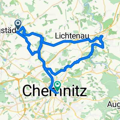
Chemnitz- und Muldental
A cycling route starting in Taura, Saxony, Germany.
Overview
About this route
traillastige Route mit schnellem Rückweg über Straße
- -:--
- Duration
- 22.9 km
- Distance
- 409 m
- Ascent
- 408 m
- Descent
- ---
- Avg. speed
- ---
- Avg. speed
Continue with Bikemap
Use, edit, or download this cycling route
You would like to ride Chemnitz- und Muldental or customize it for your own trip? Here is what you can do with this Bikemap route:
Free features
- Save this route as favorite or in collections
- Copy & plan your own version of this route
- Sync your route with Garmin or Wahoo
Premium features
Free trial for 3 days, or one-time payment. More about Bikemap Premium.
- Navigate this route on iOS & Android
- Export a GPX / KML file of this route
- Create your custom printout (try it for free)
- Download this route for offline navigation
Discover more Premium features.
Get Bikemap PremiumFrom our community
Other popular routes starting in Taura
 schöne Runde
- Distance
- 83.2 km
- Ascent
- 660 m
- Descent
- 657 m
- Location
- Taura, Saxony, Germany
 Chemnitztal Schlammschlacht
- Distance
- 23.7 km
- Ascent
- 272 m
- Descent
- 272 m
- Location
- Taura, Saxony, Germany
 Unteres Chemnitztal
- Distance
- 36.1 km
- Ascent
- 288 m
- Descent
- 290 m
- Location
- Taura, Saxony, Germany
 Chemnitztalroute
- Distance
- 4.8 km
- Ascent
- 133 m
- Descent
- 134 m
- Location
- Taura, Saxony, Germany
 Chemnitztalradweg
- Distance
- 18.2 km
- Ascent
- 180 m
- Descent
- 114 m
- Location
- Taura, Saxony, Germany
 20' - FTP-Test (Chemnitztal)
- Distance
- 11.4 km
- Ascent
- 174 m
- Descent
- 79 m
- Location
- Taura, Saxony, Germany
 Taura - Frankenberg -Taura
- Distance
- 62.3 km
- Ascent
- 411 m
- Descent
- 395 m
- Location
- Taura, Saxony, Germany
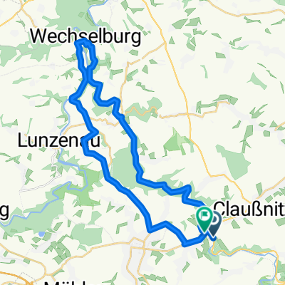
 K8254 162, Taura nach Bahnhofstraße 18, Wechselburg
- Distance
- 16 km
- Ascent
- 146 m
- Descent
- 281 m
- Location
- Taura, Saxony, Germany
Open it in the app