Cycling Route in Manzanares el Real, Madrid, Spain
2017_Salida_20_CCAluche_Ruta_C
1

Open this route in the Bikemap app

Open this route in Bikemap Web
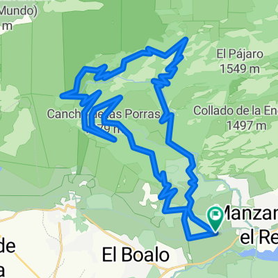
48
km
Distance
Distance
645
m
Ascent
Ascent
646
m
Descent
Descent
-:--
h
Duration
Duration
--
km/h
Avg. Speed
Avg. Speed
---
m
Max. Elevation
Max. Elevation