

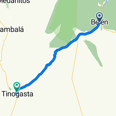
Belen-Tinogasta: Cuesta de Zapata
A cycling route starting in Belén, Catamarca Province, Argentina.
Overview
About this route
Cuesta de Zapata desde Belen a Tinogasta
- -:--
- Duration
- 78.1 km
- Distance
- 768 m
- Ascent
- 811 m
- Descent
- ---
- Avg. speed
- ---
- Avg. speed

Route quality
Waytypes & surfaces along the route
Waytypes
Path
29.7 km
(38 %)
Road
23.3 km
(30 %)
Surfaces
Paved
13.3 km
(17 %)
Unpaved
55 km
(70 %)
Ground
31.5 km
(40 %)
Unpaved (undefined)
23.5 km
(30 %)
Continue with Bikemap
Use, edit, or download this cycling route
You would like to ride Belen-Tinogasta: Cuesta de Zapata or customize it for your own trip? Here is what you can do with this Bikemap route:
Free features
- Save this route as favorite or in collections
- Copy & plan your own version of this route
- Sync your route with Garmin or Wahoo
Premium features
Free trial for 3 days, or one-time payment. More about Bikemap Premium.
- Navigate this route on iOS & Android
- Export a GPX / KML file of this route
- Create your custom printout (try it for free)
- Download this route for offline navigation
Discover more Premium features.
Get Bikemap PremiumFrom our community
Other popular routes starting in Belén
 10-Belen to Santa Maria
- Distance
- 180.1 km
- Ascent
- 1,127 m
- Descent
- 518 m
- Location
- Belén, Catamarca Province, Argentina
 Belen-Tinogasta: Cuesta de Zapata
- Distance
- 78.1 km
- Ascent
- 768 m
- Descent
- 811 m
- Location
- Belén, Catamarca Province, Argentina
 Belén
Belén- Distance
- 884.3 km
- Ascent
- 2,491 m
- Descent
- 2,985 m
- Location
- Belén, Catamarca Province, Argentina
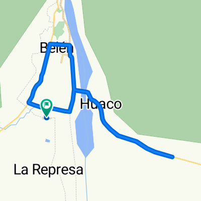
 Part. 5 Belen- Huaco
- Distance
- 430 km
- Ascent
- 2,202 m
- Descent
- 2,411 m
- Location
- Belén, Catamarca Province, Argentina
 De Unnamed Road, Belén a Unnamed Road, Belén
- Distance
- 20.6 km
- Ascent
- 191 m
- Descent
- 181 m
- Location
- Belén, Catamarca Province, Argentina
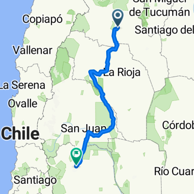
 belen - potosí por la nada
- Distance
- 1,266.8 km
- Ascent
- 8,029 m
- Descent
- 5,392 m
- Location
- Belén, Catamarca Province, Argentina
 2 In velo veritas valle fatima chilecito 221 kms
- Distance
- 221.4 km
- Ascent
- 999 m
- Descent
- 1,190 m
- Location
- Belén, Catamarca Province, Argentina
 5. Belen-Cafayate
- Distance
- 250.2 km
- Ascent
- 1,097 m
- Descent
- 723 m
- Location
- Belén, Catamarca Province, Argentina
Open it in the app