

Rif. Gemba - Valle di Adrara
A cycling route starting in Bergamo, Lombardy, Italy.
Overview
About this route
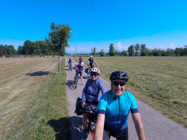
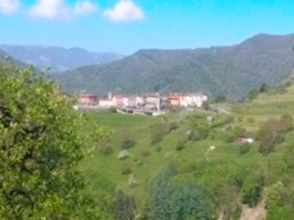
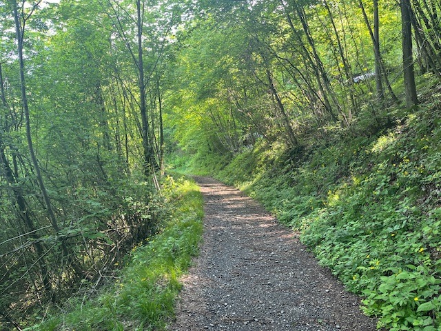
<span class="userContent">Oltre le nebbie del Colle Croce, si sale al Rifugio Gemba. Tra cascine e prati ci addentriamo nella selvaggia Valle di Adrara. Superata la cappelletta della Madonna della Tosse, in località Bione prendiamo il sentiero 2a che in piano, nel bosco, ci porta in località Bondo dove ritroviamo la strada per il fondovalle</span>
- -:--
- Duration
- 68.2 km
- Distance
- 916 m
- Ascent
- 917 m
- Descent
- ---
- Avg. speed
- ---
- Avg. speed

Continue with Bikemap
Use, edit, or download this cycling route
You would like to ride Rif. Gemba - Valle di Adrara or customize it for your own trip? Here is what you can do with this Bikemap route:
Free features
- Save this route as favorite or in collections
- Copy & plan your own version of this route
- Sync your route with Garmin or Wahoo
Premium features
Free trial for 3 days, or one-time payment. More about Bikemap Premium.
- Navigate this route on iOS & Android
- Export a GPX / KML file of this route
- Create your custom printout (try it for free)
- Download this route for offline navigation
Discover more Premium features.
Get Bikemap PremiumFrom our community
Other popular routes starting in Bergamo
 Ciclopedonale dei Boschi e dei Fontanili
- Distance
- 45.3 km
- Ascent
- 114 m
- Descent
- 96 m
- Location
- Bergamo, Lombardy, Italy
 Baite Ducone - Lerano
- Distance
- 69.3 km
- Ascent
- 667 m
- Descent
- 667 m
- Location
- Bergamo, Lombardy, Italy
 Allenamento... fangoso
- Distance
- 17.9 km
- Ascent
- 450 m
- Descent
- 404 m
- Location
- Bergamo, Lombardy, Italy
 Lengthy bike tour through Monasterolo del Castello
- Distance
- 31 km
- Ascent
- 172 m
- Descent
- 80 m
- Location
- Bergamo, Lombardy, Italy
 Cler- Benago- Piazza Martina
- Distance
- 50.6 km
- Ascent
- 980 m
- Descent
- 979 m
- Location
- Bergamo, Lombardy, Italy
 Baite dei Mùch
- Distance
- 54.7 km
- Ascent
- 1,204 m
- Descent
- 1,203 m
- Location
- Bergamo, Lombardy, Italy
 Parco Alpini S. Valeria Mornico al Serio
- Distance
- 52.9 km
- Ascent
- 160 m
- Descent
- 132 m
- Location
- Bergamo, Lombardy, Italy
 Giro della Val de Grù
- Distance
- 59 km
- Ascent
- 927 m
- Descent
- 931 m
- Location
- Bergamo, Lombardy, Italy
Open it in the app