

Rundkurs Aachen - Eupen - Simmerath - Roetgen
A cycling route starting in Stolberg, North Rhine-Westphalia, Germany.
Overview
About this route
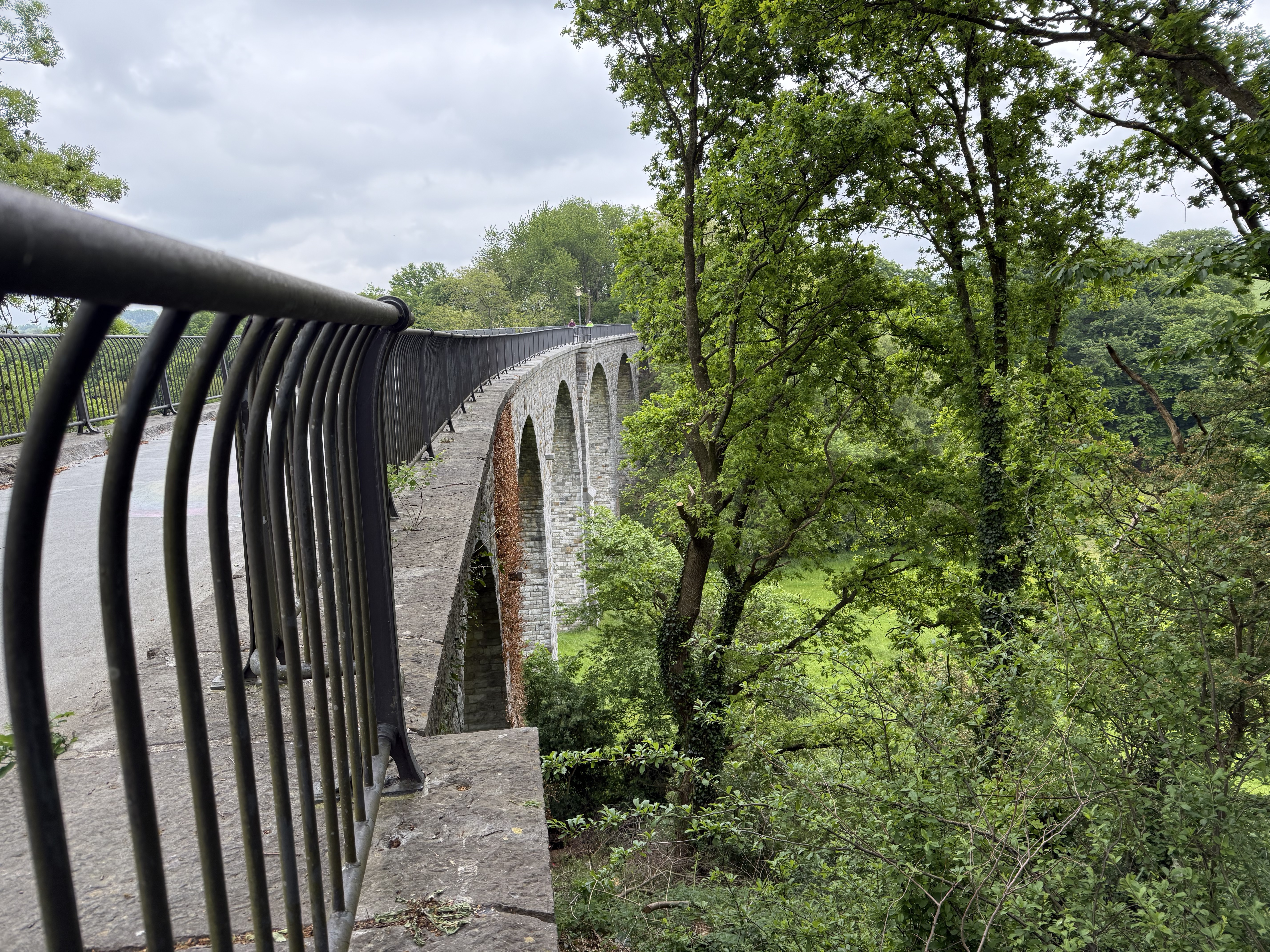
Auf der Route gibt es eigentlich nur eine wirklich ernst zu nehmende Steigung, nämlich von Eupen hoch in Richtung Imgenbroich. Anschließend fährt man einige Zeit auf diesem Niveau und fällt dann über die Himmelsleiter wieder in Richtung Aachen
- -:--
- Duration
- 67.1 km
- Distance
- 725 m
- Ascent
- 622 m
- Descent
- ---
- Avg. speed
- 622 m
- Avg. speed
Route quality
Waytypes & surfaces along the route
Waytypes
Road
16.2 km
(24 %)
Busy road
13.6 km
(20 %)
Surfaces
Paved
42.2 km
(63 %)
Unpaved
4.8 km
(7 %)
Asphalt
39.8 km
(59 %)
Unpaved (undefined)
3.5 km
(5 %)
Continue with Bikemap
Use, edit, or download this cycling route
You would like to ride Rundkurs Aachen - Eupen - Simmerath - Roetgen or customize it for your own trip? Here is what you can do with this Bikemap route:
Free features
- Save this route as favorite or in collections
- Copy & plan your own version of this route
- Sync your route with Garmin or Wahoo
Premium features
Free trial for 3 days, or one-time payment. More about Bikemap Premium.
- Navigate this route on iOS & Android
- Export a GPX / KML file of this route
- Create your custom printout (try it for free)
- Download this route for offline navigation
Discover more Premium features.
Get Bikemap PremiumFrom our community
Other popular routes starting in Stolberg
 Vlissingen
- Distance
- 250.6 km
- Ascent
- 111 m
- Descent
- 283 m
- Location
- Stolberg, North Rhine-Westphalia, Germany
 Route in Stolberg (Rheinland)
- Distance
- 158.3 km
- Ascent
- 3,196 m
- Descent
- 3,190 m
- Location
- Stolberg, North Rhine-Westphalia, Germany
 Breinig-Dreilägerbachtalsperre-Breinig
- Distance
- 21.6 km
- Ascent
- 199 m
- Descent
- 177 m
- Location
- Stolberg, North Rhine-Westphalia, Germany
 AC-Jülich-EIfel-AC
- Distance
- 68.2 km
- Ascent
- 398 m
- Descent
- 398 m
- Location
- Stolberg, North Rhine-Westphalia, Germany
 Indetal und Altstadt von Stolberg
- Distance
- 27.4 km
- Ascent
- 249 m
- Descent
- 248 m
- Location
- Stolberg, North Rhine-Westphalia, Germany
 Aachen-Venn-Eifel 85km-1080Hm
- Distance
- 83 km
- Ascent
- 809 m
- Descent
- 812 m
- Location
- Stolberg, North Rhine-Westphalia, Germany
 Kornelimunster to Bahnhofplatz, Aachen
- Distance
- 20 km
- Ascent
- 137 m
- Descent
- 196 m
- Location
- Stolberg, North Rhine-Westphalia, Germany
 Teil des Hasselbach Trails
- Distance
- 34.6 km
- Ascent
- 454 m
- Descent
- 418 m
- Location
- Stolberg, North Rhine-Westphalia, Germany
Open it in the app