
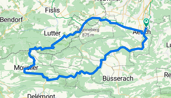
Dornach (Apfelsee) - Laufen - Soyhiere - Movelier - Wollschwiler - Flüh - Dornach
A cycling route starting in Dornach, Canton of Solothurn, Switzerland.
Overview
About this route
- -:--
- Duration
- 67.3 km
- Distance
- 1,128 m
- Ascent
- 1,100 m
- Descent
- ---
- Avg. speed
- 707 m
- Avg. speed
Route quality
Waytypes & surfaces along the route
Waytypes
Busy road
37.4 km
(56 %)
Road
12.1 km
(18 %)
Surfaces
Paved
27.6 km
(41 %)
Unpaved
1.6 km
(2 %)
Asphalt
26 km
(39 %)
Gravel
1.6 km
(2 %)
Continue with Bikemap
Use, edit, or download this cycling route
You would like to ride Dornach (Apfelsee) - Laufen - Soyhiere - Movelier - Wollschwiler - Flüh - Dornach or customize it for your own trip? Here is what you can do with this Bikemap route:
Free features
- Save this route as favorite or in collections
- Copy & plan your own version of this route
- Sync your route with Garmin or Wahoo
Premium features
Free trial for 3 days, or one-time payment. More about Bikemap Premium.
- Navigate this route on iOS & Android
- Export a GPX / KML file of this route
- Create your custom printout (try it for free)
- Download this route for offline navigation
Discover more Premium features.
Get Bikemap PremiumFrom our community
Other popular routes starting in Dornach
 Leichte Feierabendrunde
- Distance
- 29.6 km
- Ascent
- 354 m
- Descent
- 352 m
- Location
- Dornach, Canton of Solothurn, Switzerland
 Gempen Strecke
- Distance
- 5.1 km
- Ascent
- 297 m
- Descent
- 0 m
- Location
- Dornach, Canton of Solothurn, Switzerland
 Baselbieterrundfahrt
- Distance
- 93.3 km
- Ascent
- 1,203 m
- Descent
- 1,209 m
- Location
- Dornach, Canton of Solothurn, Switzerland
 Sommertour
- Distance
- 63.8 km
- Ascent
- 488 m
- Descent
- 500 m
- Location
- Dornach, Canton of Solothurn, Switzerland
 Rund um den Gempen 2
- Distance
- 48.9 km
- Ascent
- 508 m
- Descent
- 457 m
- Location
- Dornach, Canton of Solothurn, Switzerland
 Dornach-Kandern-Endenburg-Steinen-Dornach
- Distance
- 85.2 km
- Ascent
- 606 m
- Descent
- 609 m
- Location
- Dornach, Canton of Solothurn, Switzerland
 Chalhöhe via Rodersdorf
- Distance
- 41.1 km
- Ascent
- 634 m
- Descent
- 634 m
- Location
- Dornach, Canton of Solothurn, Switzerland
 Predigerhof
- Distance
- 16.5 km
- Ascent
- 160 m
- Descent
- 166 m
- Location
- Dornach, Canton of Solothurn, Switzerland
Open it in the app