
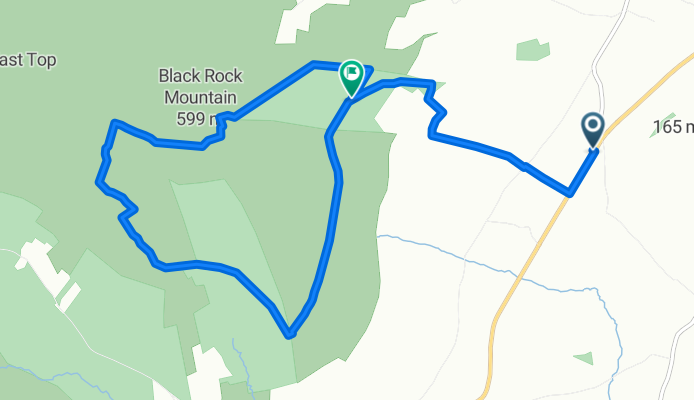
Turf Hut Walk
A cycling route starting in Bunclody, Leinster, Ireland.
Overview
About this route
A walk the the Turf Hut between Mt leinster and Blackrock mountains and Back to starting point at Half-Way house
- -:--
- Duration
- 9.6 km
- Distance
- 499 m
- Ascent
- 304 m
- Descent
- ---
- Avg. speed
- ---
- Avg. speed
Continue with Bikemap
Use, edit, or download this cycling route
You would like to ride Turf Hut Walk or customize it for your own trip? Here is what you can do with this Bikemap route:
Free features
- Save this route as favorite or in collections
- Copy & plan your own version of this route
- Sync your route with Garmin or Wahoo
Premium features
Free trial for 3 days, or one-time payment. More about Bikemap Premium.
- Navigate this route on iOS & Android
- Export a GPX / KML file of this route
- Create your custom printout (try it for free)
- Download this route for offline navigation
Discover more Premium features.
Get Bikemap PremiumFrom our community
Other popular routes starting in Bunclody
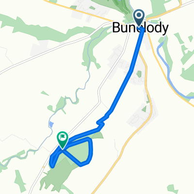
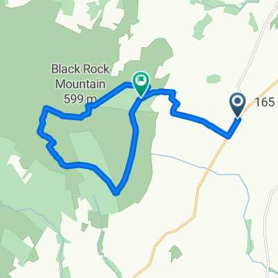 Turf Hut Walk
- Distance
- 9.6 km
- Ascent
- 499 m
- Descent
- 304 m
- Location
- Bunclody, Leinster, Ireland
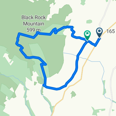 Turf Hut 1
- Distance
- 11.7 km
- Ascent
- 464 m
- Descent
- 449 m
- Location
- Bunclody, Leinster, Ireland
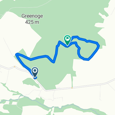 John's Hill Walk
- Distance
- 5.3 km
- Ascent
- 240 m
- Descent
- 110 m
- Location
- Bunclody, Leinster, Ireland
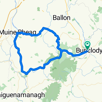 Mount Leinster loop from Bunclody
- Distance
- 64 km
- Ascent
- 816 m
- Descent
- 816 m
- Location
- Bunclody, Leinster, Ireland
 The Rime
- Distance
- 4.6 km
- Ascent
- 180 m
- Descent
- 122 m
- Location
- Bunclody, Leinster, Ireland
 Wicklowway part 1
- Distance
- 20.6 km
- Ascent
- 475 m
- Descent
- 386 m
- Location
- Bunclody, Leinster, Ireland
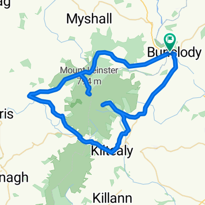 Leinster
- Distance
- 54.1 km
- Ascent
- 1,053 m
- Descent
- 1,053 m
- Location
- Bunclody, Leinster, Ireland
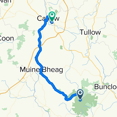 Unnamed Road to Silver Pines 27, Carlow
- Distance
- 43.9 km
- Ascent
- 318 m
- Descent
- 1,022 m
- Location
- Bunclody, Leinster, Ireland
Open it in the app