

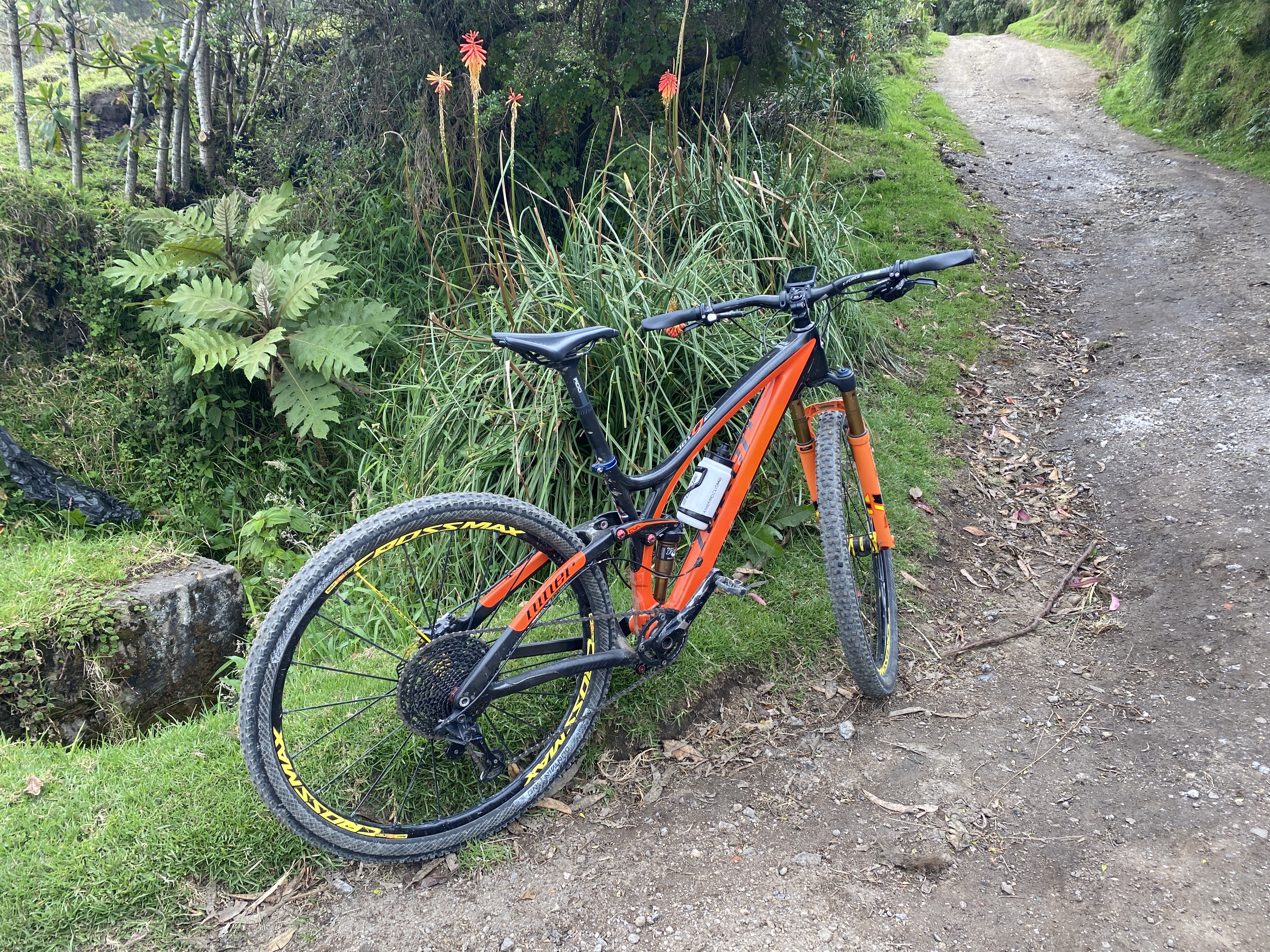
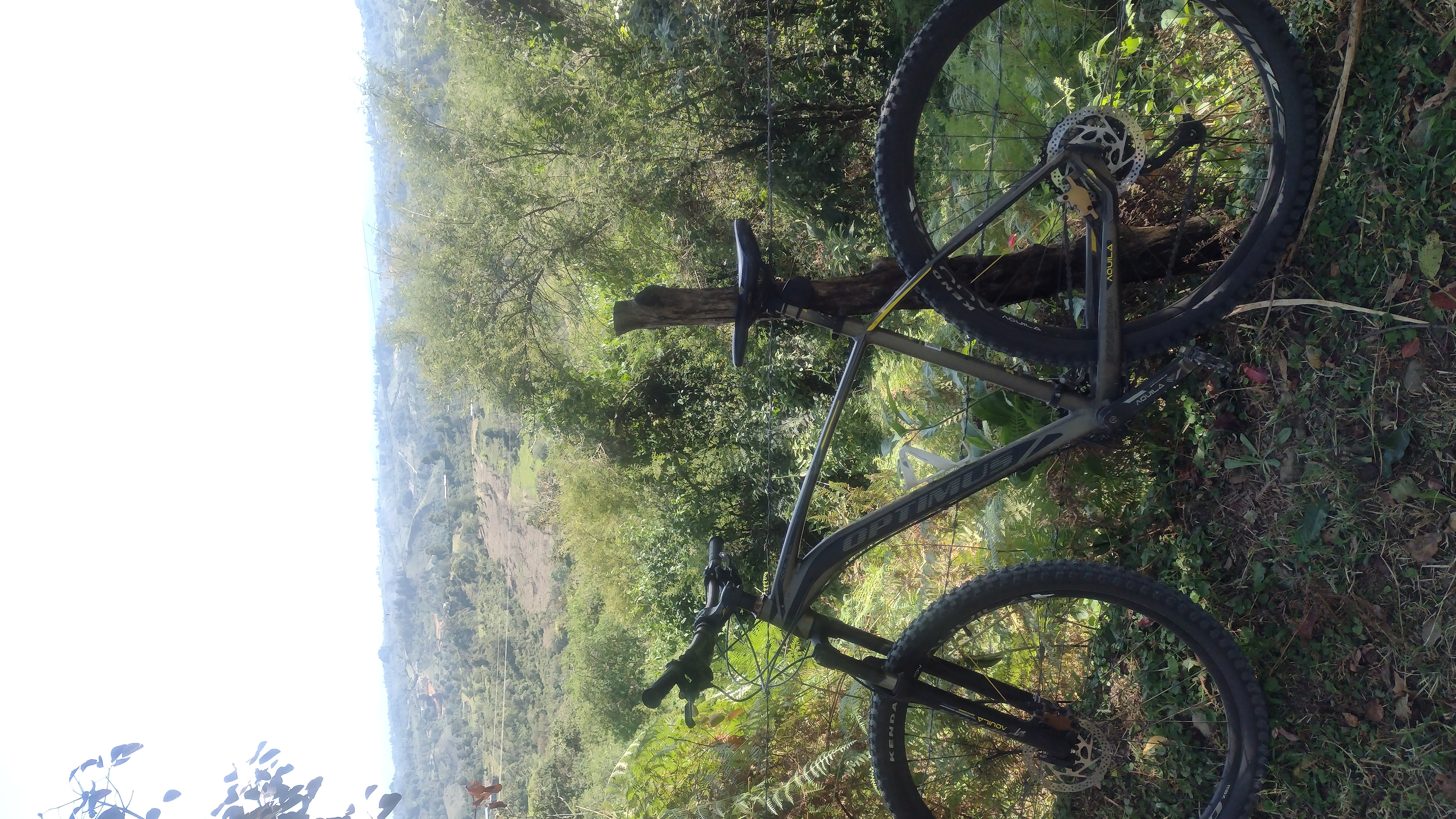
Popayan a Coconuco
A cycling route starting in Popayán, Departamento del Cauca, Colombia.
Overview
About this route
Paradisiaca ruta por las montañas de la cordillera central
- -:--
- Duration
- 27.8 km
- Distance
- 832 m
- Ascent
- 152 m
- Descent
- ---
- Avg. speed
- ---
- Avg. speed
Route quality
Waytypes & surfaces along the route
Waytypes
Busy road
25.6 km
(92 %)
Quiet road
1.6 km
(6 %)
Surfaces
Paved
23.5 km
(84 %)
Unpaved
0.2 km
(<1 %)
Asphalt
22.7 km
(82 %)
Concrete
0.7 km
(3 %)
Continue with Bikemap
Use, edit, or download this cycling route
You would like to ride Popayan a Coconuco or customize it for your own trip? Here is what you can do with this Bikemap route:
Free features
- Save this route as favorite or in collections
- Copy & plan your own version of this route
- Sync your route with Garmin or Wahoo
Premium features
Free trial for 3 days, or one-time payment. More about Bikemap Premium.
- Navigate this route on iOS & Android
- Export a GPX / KML file of this route
- Create your custom printout (try it for free)
- Download this route for offline navigation
Discover more Premium features.
Get Bikemap PremiumFrom our community
Other popular routes starting in Popayán
 AVISTAMIENTO DE AVES
- Distance
- 5.4 km
- Ascent
- 259 m
- Descent
- 260 m
- Location
- Popayán, Departamento del Cauca, Colombia
 Popayan-Inza
- Distance
- 124.3 km
- Ascent
- 2,936 m
- Descent
- 2,329 m
- Location
- Popayán, Departamento del Cauca, Colombia
 Popayan La Mina Volcán Purace
- Distance
- 94 km
- Ascent
- 2,916 m
- Descent
- 2,914 m
- Location
- Popayán, Departamento del Cauca, Colombia
 Lgrands - Terraplaza - Clarete 2
- Distance
- 21.2 km
- Ascent
- 459 m
- Descent
- 500 m
- Location
- Popayán, Departamento del Cauca, Colombia
 LGrands - Terraplaza - Clarete
- Distance
- 21 km
- Ascent
- 422 m
- Descent
- 440 m
- Location
- Popayán, Departamento del Cauca, Colombia
 Ruta desde Calle 61 Norte 16-23, Popayán
- Distance
- 27.9 km
- Ascent
- 628 m
- Descent
- 629 m
- Location
- Popayán, Departamento del Cauca, Colombia
 ruta
ruta- Distance
- 35.1 km
- Ascent
- 431 m
- Descent
- 432 m
- Location
- Popayán, Departamento del Cauca, Colombia
 De Calle 1 16-61, Popayán a Calle 1 16-61, Popayán
- Distance
- 35.4 km
- Ascent
- 269 m
- Descent
- 270 m
- Location
- Popayán, Departamento del Cauca, Colombia
Open it in the app