

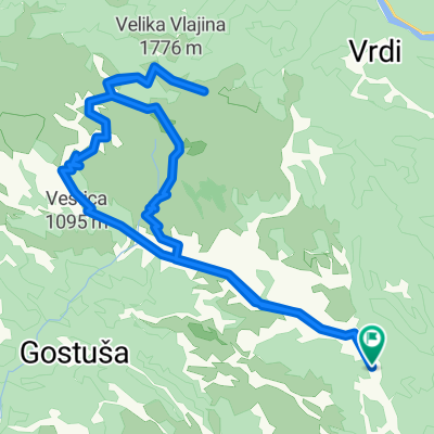
Mostar ž Žito - Kručevići - Međugorje - Dobro Selo - Mostar
A cycling route starting in Cim, Federation of Bosnia and Herzegovina, Bosnia and Herzegovina.
Overview
About this route
Mostar ž Žito - Kručevići - Međugorje - Dobro Selo - Mostar
- -:--
- Duration
- 70.4 km
- Distance
- 552 m
- Ascent
- 552 m
- Descent
- ---
- Avg. speed
- ---
- Avg. speed

Route quality
Waytypes & surfaces along the route
Waytypes
Busy road
29.5 km
(42 %)
Road
18.7 km
(27 %)
Surfaces
Paved
51.7 km
(73 %)
Unpaved
0.7 km
(<1 %)
Asphalt
51.7 km
(73 %)
Ground
0.5 km
(<1 %)
Continue with Bikemap
Use, edit, or download this cycling route
You would like to ride Mostar ž Žito - Kručevići - Međugorje - Dobro Selo - Mostar or customize it for your own trip? Here is what you can do with this Bikemap route:
Free features
- Save this route as favorite or in collections
- Copy & plan your own version of this route
- Sync your route with Garmin or Wahoo
Premium features
Free trial for 3 days, or one-time payment. More about Bikemap Premium.
- Navigate this route on iOS & Android
- Export a GPX / KML file of this route
- Create your custom printout (try it for free)
- Download this route for offline navigation
Discover more Premium features.
Get Bikemap PremiumFrom our community
Other popular routes starting in Cim
 Goranci - Vrdi - Vilino polje - Goranci
- Distance
- 30.3 km
- Ascent
- 776 m
- Descent
- 773 m
- Location
- Cim, Federation of Bosnia and Herzegovina, Bosnia and Herzegovina
 Vilino polje
- Distance
- 19.5 km
- Ascent
- 348 m
- Descent
- 347 m
- Location
- Cim, Federation of Bosnia and Herzegovina, Bosnia and Herzegovina
 Peace Cycling Trail
- Distance
- 26.8 km
- Ascent
- 329 m
- Descent
- 1,005 m
- Location
- Cim, Federation of Bosnia and Herzegovina, Bosnia and Herzegovina
 Mostar-Goranci
- Distance
- 10.8 km
- Ascent
- 778 m
- Descent
- 210 m
- Location
- Cim, Federation of Bosnia and Herzegovina, Bosnia and Herzegovina
 Goranci - Cabulja
- Distance
- 42 km
- Ascent
- 1,264 m
- Descent
- 1,263 m
- Location
- Cim, Federation of Bosnia and Herzegovina, Bosnia and Herzegovina
 Tepsija
- Distance
- 34 km
- Ascent
- 1,000 m
- Descent
- 583 m
- Location
- Cim, Federation of Bosnia and Herzegovina, Bosnia and Herzegovina
 mostar - knešpolje - kruševo - mostar
- Distance
- 48.1 km
- Ascent
- 511 m
- Descent
- 511 m
- Location
- Cim, Federation of Bosnia and Herzegovina, Bosnia and Herzegovina
 Vrdi
Vrdi- Distance
- 55.6 km
- Ascent
- 1,613 m
- Descent
- 1,510 m
- Location
- Cim, Federation of Bosnia and Herzegovina, Bosnia and Herzegovina
Open it in the app