
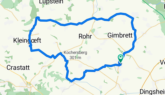
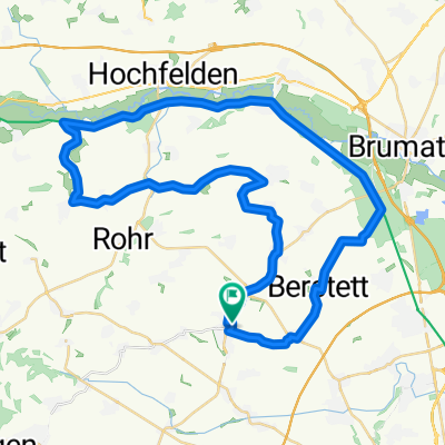
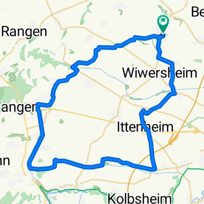
Boucle Kochersberg 44km
A cycling route starting in Truchtersheim, Alsace-Champagne-Ardenne-Lorraine, France.
Overview
About this route
petrite ballade rapide, quelques belles côtes dont la finale
- -:--
- Duration
- 43.8 km
- Distance
- 341 m
- Ascent
- 343 m
- Descent
- ---
- Avg. speed
- ---
- Avg. speed
Route quality
Waytypes & surfaces along the route
Waytypes
Road
33.3 km
(76 %)
Busy road
9 km
(21 %)
Surfaces
Paved
2.4 km
(6 %)
Asphalt
2.4 km
(6 %)
Undefined
41.3 km
(94 %)
Continue with Bikemap
Use, edit, or download this cycling route
You would like to ride Boucle Kochersberg 44km or customize it for your own trip? Here is what you can do with this Bikemap route:
Free features
- Save this route as favorite or in collections
- Copy & plan your own version of this route
- Sync your route with Garmin or Wahoo
Premium features
Free trial for 3 days, or one-time payment. More about Bikemap Premium.
- Navigate this route on iOS & Android
- Export a GPX / KML file of this route
- Create your custom printout (try it for free)
- Download this route for offline navigation
Discover more Premium features.
Get Bikemap PremiumFrom our community
Other popular routes starting in Truchtersheim
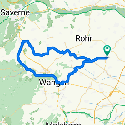
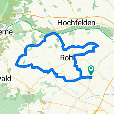 Kochersberg - entrainement côtes
- Distance
- 57 km
- Ascent
- 485 m
- Descent
- 485 m
- Location
- Truchtersheim, Alsace-Champagne-Ardenne-Lorraine, France
 Canal Marne au Rhin - Truch
- Distance
- 40 km
- Ascent
- 268 m
- Descent
- 269 m
- Location
- Truchtersheim, Alsace-Champagne-Ardenne-Lorraine, France
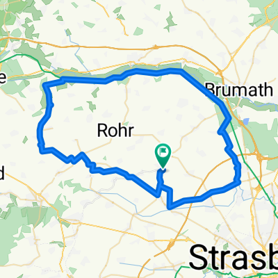 Kochersberg
- Distance
- 64.3 km
- Ascent
- 248 m
- Descent
- 248 m
- Location
- Truchtersheim, Alsace-Champagne-Ardenne-Lorraine, France
 50 Km Kochersberg
- Distance
- 48.9 km
- Ascent
- 272 m
- Descent
- 272 m
- Location
- Truchtersheim, Alsace-Champagne-Ardenne-Lorraine, France
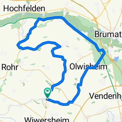
 Truch - Marmoutier - Truch 50 km
- Distance
- 51.3 km
- Ascent
- 372 m
- Descent
- 372 m
- Location
- Truchtersheim, Alsace-Champagne-Ardenne-Lorraine, France
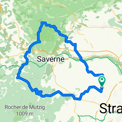 Truch/Ptite Pierre/Dabo
- Distance
- 115.7 km
- Ascent
- 923 m
- Descent
- 927 m
- Location
- Truchtersheim, Alsace-Champagne-Ardenne-Lorraine, France
 Boucle Kochersberg 44km
- Distance
- 43.8 km
- Ascent
- 341 m
- Descent
- 343 m
- Location
- Truchtersheim, Alsace-Champagne-Ardenne-Lorraine, France
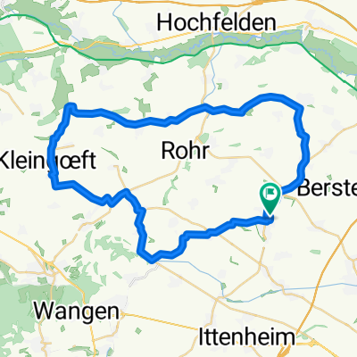
 40 km dans le Kochersberg
- Distance
- 40 km
- Ascent
- 288 m
- Descent
- 288 m
- Location
- Truchtersheim, Alsace-Champagne-Ardenne-Lorraine, France
Open it in the app