

Z - Naumburg - Z
A cycling route starting in Weißenborn, Saxony, Germany.
Overview
About this route
Von Zwickau über Zeitz nach Naumburg, Camburg, Bad Köstritz, Posterstein und zurück nach Zwickau
- -:--
- Duration
- 206.6 km
- Distance
- 929 m
- Ascent
- 929 m
- Descent
- ---
- Avg. speed
- ---
- Avg. speed
Route quality
Waytypes & surfaces along the route
Waytypes
Busy road
102.2 km
(49 %)
Road
52.9 km
(26 %)
Surfaces
Paved
156.3 km
(76 %)
Unpaved
11 km
(5 %)
Asphalt
149.9 km
(73 %)
Ground
5.4 km
(3 %)
Continue with Bikemap
Use, edit, or download this cycling route
You would like to ride Z - Naumburg - Z or customize it for your own trip? Here is what you can do with this Bikemap route:
Free features
- Save this route as favorite or in collections
- Copy & plan your own version of this route
- Sync your route with Garmin or Wahoo
Premium features
Free trial for 3 days, or one-time payment. More about Bikemap Premium.
- Navigate this route on iOS & Android
- Export a GPX / KML file of this route
- Create your custom printout (try it for free)
- Download this route for offline navigation
Discover more Premium features.
Get Bikemap PremiumFrom our community
Other popular routes starting in Weißenborn
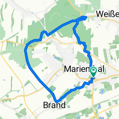 von Marienthal über Stock und Stein
- Distance
- 10 km
- Ascent
- 143 m
- Descent
- 141 m
- Location
- Weißenborn, Saxony, Germany
 Gerade Fahrt in Zwickau
- Distance
- 40.8 km
- Ascent
- 638 m
- Descent
- 627 m
- Location
- Weißenborn, Saxony, Germany
 von der Stadt aufs Land in den Wald und zurück
- Distance
- 18.5 km
- Ascent
- 139 m
- Descent
- 152 m
- Location
- Weißenborn, Saxony, Germany
 Gemütliche Route in Zwickau
- Distance
- 43.8 km
- Ascent
- 499 m
- Descent
- 498 m
- Location
- Weißenborn, Saxony, Germany
 Zwickau Werdau Crimitschau Mosel Zwickau
- Distance
- 39 km
- Ascent
- 217 m
- Descent
- 216 m
- Location
- Weißenborn, Saxony, Germany
 Rings um Zwickau
- Distance
- 81 km
- Ascent
- 815 m
- Descent
- 812 m
- Location
- Weißenborn, Saxony, Germany
 Schnelle Radrunde von Zwickau nach Werdau
- Distance
- 9.8 km
- Ascent
- 157 m
- Descent
- 114 m
- Location
- Weißenborn, Saxony, Germany
 Mühltal
- Distance
- 86.2 km
- Ascent
- 841 m
- Descent
- 812 m
- Location
- Weißenborn, Saxony, Germany
Open it in the app