

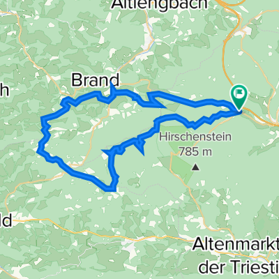
Pfalzberg Strecke
A cycling route starting in Klausen-Leopoldsdorf, Lower Austria, Austria.
Overview
About this route
<span style="color: rgb(51, 51, 51); font-family: georgia, serif; font-size: 18px; line-height: 24px;">Für unsere Trekking-Bike Besitzer! Asphalt: 24 km, Gelände: 9,8 km. Start in Klausen-Leopoldsdorf und nur wenig Gelände aber traumhafte Gegend - Trekking-Herz, was willst du mehr?</span>
- -:--
- Duration
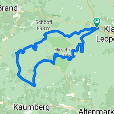
- 38.9 km
- Distance
- 619 m
- Ascent
- 618 m
- Descent
- ---
- Avg. speed
- ---
- Avg. speed

Route quality
Waytypes & surfaces along the route
Waytypes
Busy road
17.6 km
(45 %)
Track
10.1 km
(26 %)
Surfaces
Paved
22.5 km
(58 %)
Unpaved
9.8 km
(25 %)
Asphalt
22.5 km
(58 %)
Gravel
6.1 km
(16 %)
Continue with Bikemap
Use, edit, or download this cycling route
You would like to ride Pfalzberg Strecke or customize it for your own trip? Here is what you can do with this Bikemap route:
Free features
- Save this route as favorite or in collections
- Copy & plan your own version of this route
- Sync your route with Garmin or Wahoo
Premium features
Free trial for 3 days, or one-time payment. More about Bikemap Premium.
- Navigate this route on iOS & Android
- Export a GPX / KML file of this route
- Create your custom printout (try it for free)
- Download this route for offline navigation
Discover more Premium features.
Get Bikemap PremiumFrom our community
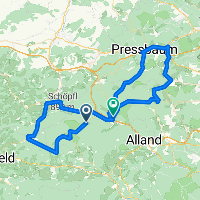
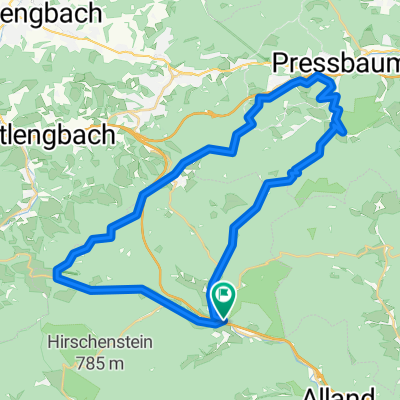
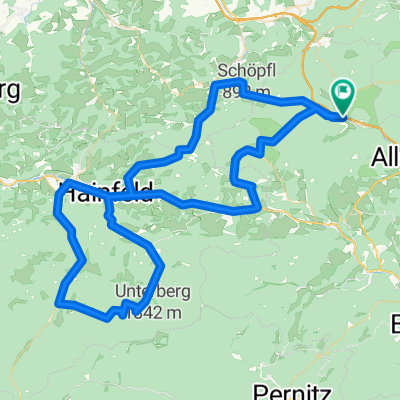
Other popular routes starting in Klausen-Leopoldsdorf
 Klammhöhe
- Distance
- 37.6 km
- Ascent
- 0 m
- Descent
- 0 m
- Location
- Klausen-Leopoldsdorf, Lower Austria, Austria
 Mariazell-RSC
- Distance
- 195.8 km
- Ascent
- 1,612 m
- Descent
- 1,602 m
- Location
- Klausen-Leopoldsdorf, Lower Austria, Austria
 Schöpfel, Hengstl, Kleiner Semmering
- Distance
- 73.1 km
- Ascent
- 994 m
- Descent
- 1,106 m
- Location
- Klausen-Leopoldsdorf, Lower Austria, Austria
 Pfalzberg Strecke
- Distance
- 38.9 km
- Ascent
- 619 m
- Descent
- 618 m
- Location
- Klausen-Leopoldsdorf, Lower Austria, Austria
 WIENERWALDSEE - TOUR
- Distance
- 36.8 km
- Ascent
- 562 m
- Descent
- 559 m
- Location
- Klausen-Leopoldsdorf, Lower Austria, Austria
 Klausen-Leopoldsdorf-Hainburg-Ramsau
- Distance
- 89.5 km
- Ascent
- 1,065 m
- Descent
- 1,065 m
- Location
- Klausen-Leopoldsdorf, Lower Austria, Austria
 Schöpfl - Strecke
- Distance
- 30.2 km
- Ascent
- 769 m
- Descent
- 768 m
- Location
- Klausen-Leopoldsdorf, Lower Austria, Austria
 SCHÖPFEL - KLAMMHÖHE
- Distance
- 36.2 km
- Ascent
- 1,015 m
- Descent
- 1,015 m
- Location
- Klausen-Leopoldsdorf, Lower Austria, Austria
Open it in the app