

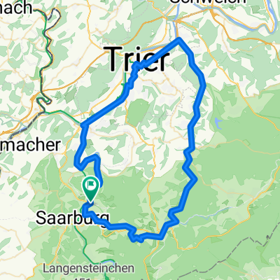
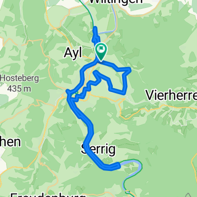
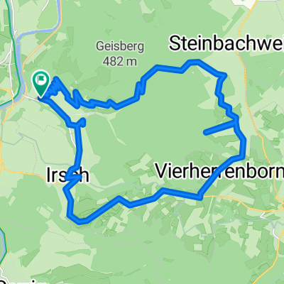
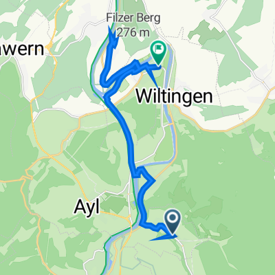
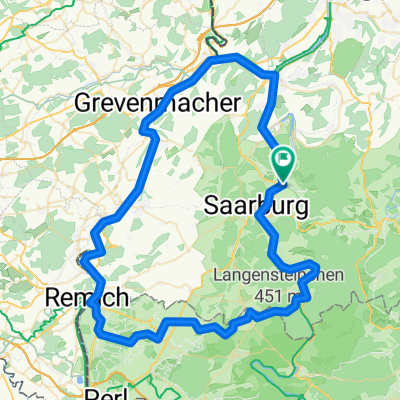
Weinroute ab Ockfen
A cycling route starting in Ockfen, Rhineland-Palatinate, Germany.
Overview
About this route
Testroute entlang von Saar und Mosel, durch's Ruwertal und über den Hunsrück
- -:--
- Duration
- 72.1 km
- Distance
- 515 m
- Ascent
- 515 m
- Descent
- ---
- Avg. speed
- ---
- Avg. speed
Route quality
Waytypes & surfaces along the route
Waytypes
Path
26.2 km
(36 %)
Quiet road
18.5 km
(26 %)
Surfaces
Paved
65.6 km
(91 %)
Unpaved
1.4 km
(2 %)
Asphalt
51.7 km
(72 %)
Paved (undefined)
6.7 km
(9 %)
Continue with Bikemap
Use, edit, or download this cycling route
You would like to ride Weinroute ab Ockfen or customize it for your own trip? Here is what you can do with this Bikemap route:
Free features
- Save this route as favorite or in collections
- Copy & plan your own version of this route
- Sync your route with Garmin or Wahoo
Premium features
Free trial for 3 days, or one-time payment. More about Bikemap Premium.
- Navigate this route on iOS & Android
- Export a GPX / KML file of this route
- Create your custom printout (try it for free)
- Download this route for offline navigation
Discover more Premium features.
Get Bikemap PremiumFrom our community
Other popular routes starting in Ockfen
 Weinroute ab Ockfen
- Distance
- 72.1 km
- Ascent
- 515 m
- Descent
- 515 m
- Location
- Ockfen, Rhineland-Palatinate, Germany
 Ockfen berg
- Distance
- 20.7 km
- Ascent
- 349 m
- Descent
- 364 m
- Location
- Ockfen, Rhineland-Palatinate, Germany
 Saar auf Saar ab
- Distance
- 31 km
- Ascent
- 235 m
- Descent
- 237 m
- Location
- Ockfen, Rhineland-Palatinate, Germany
 Ockfen
- Distance
- 25.7 km
- Ascent
- 632 m
- Descent
- 632 m
- Location
- Ockfen, Rhineland-Palatinate, Germany
 Recovered Route
- Distance
- 14.5 km
- Ascent
- 77 m
- Descent
- 102 m
- Location
- Ockfen, Rhineland-Palatinate, Germany
 Saar Mosel round
- Distance
- 81.8 km
- Ascent
- 430 m
- Descent
- 430 m
- Location
- Ockfen, Rhineland-Palatinate, Germany
 Leuk - Faha - Nennig - Obermosel - Saar
- Distance
- 72.8 km
- Ascent
- 355 m
- Descent
- 355 m
- Location
- Ockfen, Rhineland-Palatinate, Germany
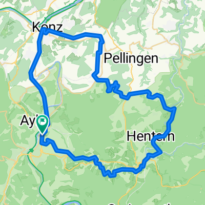 rondje Saarburg Konz
- Distance
- 51.5 km
- Ascent
- 602 m
- Descent
- 605 m
- Location
- Ockfen, Rhineland-Palatinate, Germany
Open it in the app