

Cottbus-Dissen-Peitz-Lakoma
A cycling route starting in Cottbus, Brandenburg, Germany.
Overview
About this route
Start nähe BTU Cottbus, auf dem Radweg in Richtung Brug bis Sielow, dort auf die Landstraße Richtung Dissen wechseln (Wochenende mäßig befahren, Fahrstrecke auf der Straße ca. 1 km, dann wieder Radweg)
Dissen - sehenswert Heimatstube und Kirche
weiter in Richtung zur Spreeauennrenaturierung, Bio-Imbiß sehr empfehlenswert, durch das Gebiet der Renaturierung hindurch auf der Grünen Route nach Maiberg
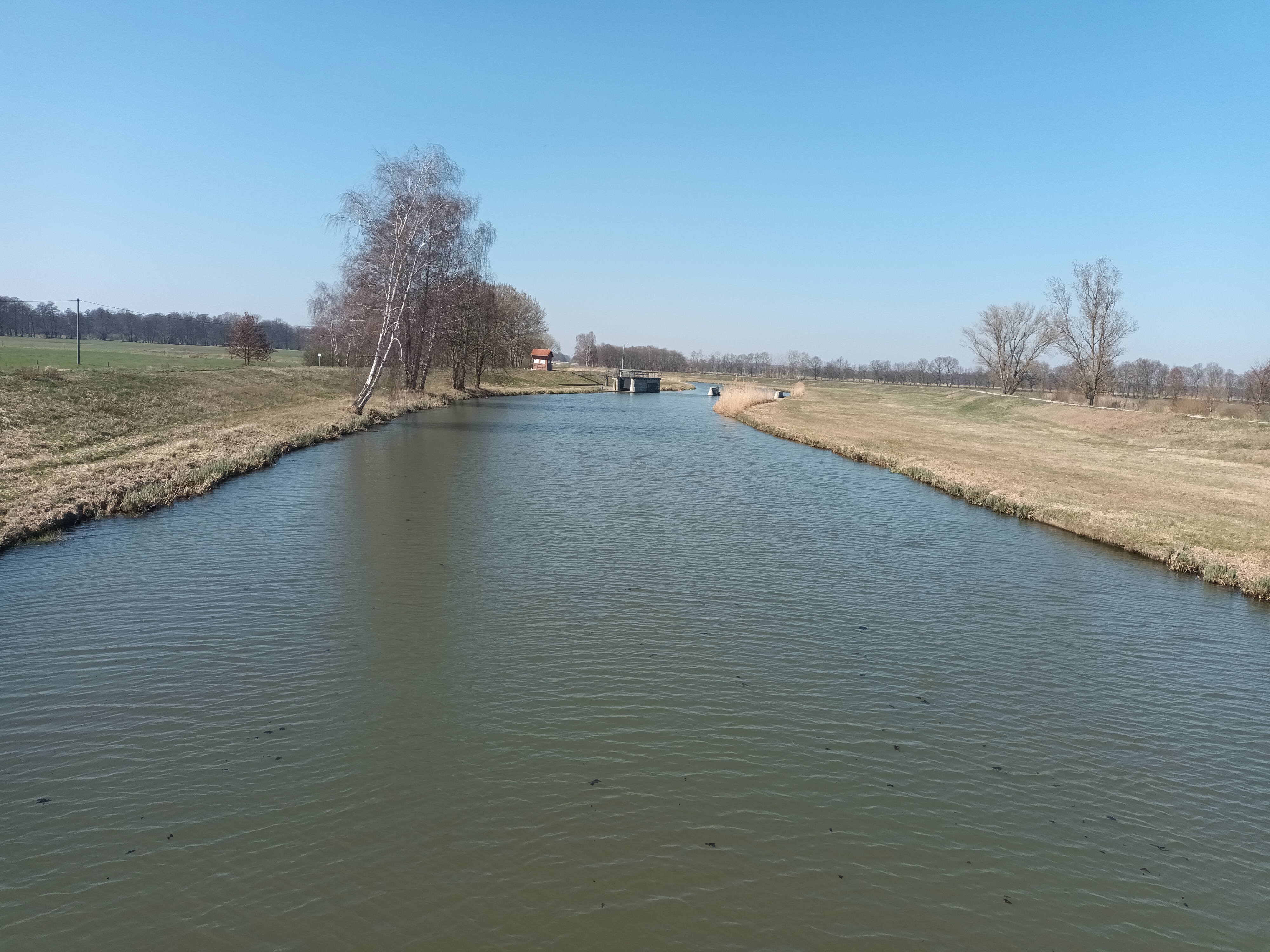
auf der Route Pückler- bzw. Gurkenradweg bis Peitz, durch das Teichgebiet zurück nach Cottbus
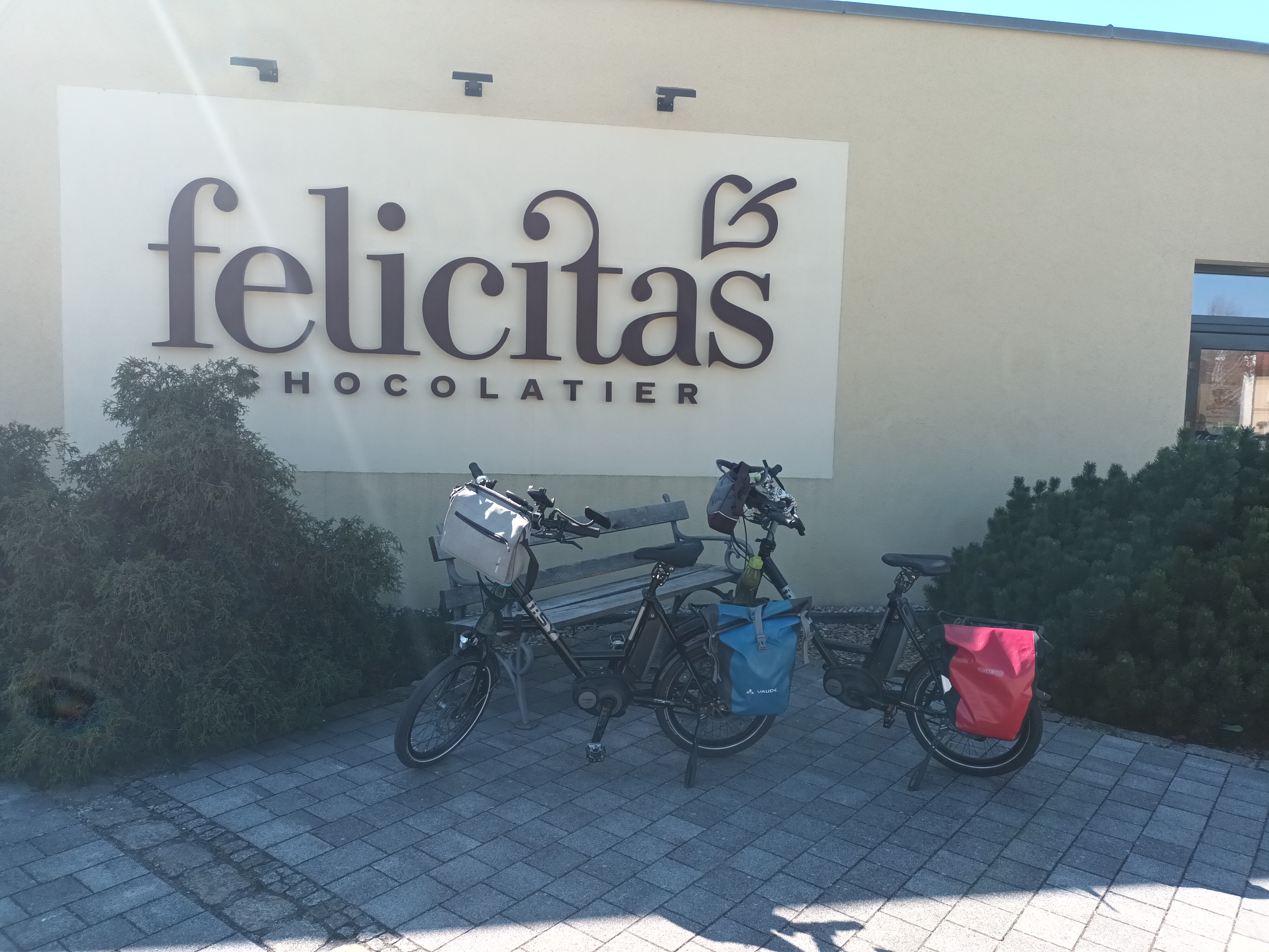
Einkehrmöglichkeiten: Sielow, Dissen, Bio-Imbiß bei Maiberg, Peitz, Cottbus-Saspow
siehe auch Anmerkungen in der Streckenkarte
Strecke aufgezeichnet mit Nokia Sportstracker
- -:--
- Duration
- 38.9 km
- Distance
- 32 m
- Ascent
- 34 m
- Descent
- ---
- Avg. speed
- 72 m
- Avg. speed
Route quality
Waytypes & surfaces along the route
Waytypes
Path
14.9 km
(38 %)
Track
10.6 km
(27 %)
Surfaces
Paved
26.6 km
(68 %)
Unpaved
8.9 km
(23 %)
Asphalt
23.9 km
(62 %)
Gravel
3.6 km
(9 %)
Route highlights
Points of interest along the route
Point of interest after 22.4 km
schlechte Wegstrecke - Kopfsteinpflaster
Point of interest after 26.1 km
ggf. in Richtung Willmersdorf abbiegen und dann auf dem Damm des Hammergrabens fahren
Point of interest after 36.9 km
Der Abstecher hierher lohnt: Eisdiele Greschke
Continue with Bikemap
Use, edit, or download this cycling route
You would like to ride Cottbus-Dissen-Peitz-Lakoma or customize it for your own trip? Here is what you can do with this Bikemap route:
Free features
- Save this route as favorite or in collections
- Copy & plan your own version of this route
- Sync your route with Garmin or Wahoo
Premium features
Free trial for 3 days, or one-time payment. More about Bikemap Premium.
- Navigate this route on iOS & Android
- Export a GPX / KML file of this route
- Create your custom printout (try it for free)
- Download this route for offline navigation
Discover more Premium features.
Get Bikemap PremiumFrom our community
Other popular routes starting in Cottbus
 Cottbus - Talsperre Spremberg (Umrundung) - Cottbus
- Distance
- 50.6 km
- Ascent
- 134 m
- Descent
- 133 m
- Location
- Cottbus, Brandenburg, Germany
 BRT2013-SA: Sparkassen - Tour - RTF der Radsportclub Cottbus e.V. - Veloteam beim BRT2013 in Cottbus - 115 km Strecke
- Distance
- 113.8 km
- Ascent
- 255 m
- Descent
- 255 m
- Location
- Cottbus, Brandenburg, Germany
 BRT2013-MI: Tour de Spreewald - RTF der Radsportclub Cottbus e.V. - Veloteam beim BRT2013 in Cottbus - 115 km Strecke
- Distance
- 118.6 km
- Ascent
- 86 m
- Descent
- 87 m
- Location
- Cottbus, Brandenburg, Germany
 Fahren nach Zahlen: im Süden um Cottbus
- Distance
- 40.7 km
- Ascent
- 182 m
- Descent
- 184 m
- Location
- Cottbus, Brandenburg, Germany
 BRT2013-FR: Teichland - Tour - RTF der RSV Peitz e.V. + Teichlandradler e.V. beim BRT2013 in Cottbus - 75 km Strecke
- Distance
- 74.1 km
- Ascent
- 95 m
- Descent
- 96 m
- Location
- Cottbus, Brandenburg, Germany
 Nach Hornow
- Distance
- 69.3 km
- Ascent
- 128 m
- Descent
- 109 m
- Location
- Cottbus, Brandenburg, Germany
 Ostsee Rundweg
- Distance
- 34.1 km
- Ascent
- 69 m
- Descent
- 70 m
- Location
- Cottbus, Brandenburg, Germany
 Straubitz Mühle
- Distance
- 69.4 km
- Ascent
- 55 m
- Descent
- 14 m
- Location
- Cottbus, Brandenburg, Germany