Premium Badge Download on the App Store Get it on Google Play Turn-by-turn Navigation Offline Maps Bike Type Optimized Routing Premium Maps Custom Bike Computer Export Routes Route Previews Fall Detection Premium Support

Cycling Route in El Escorial, Madrid, Spain

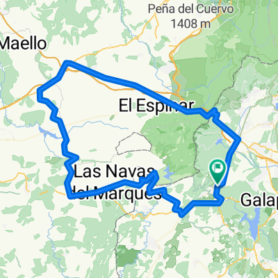
Ruta San Lorenzo-Valmayor-San Lorenzo

1
Open this route in the Bikemap app

Open this route in the Bikemap app

Open this route in Bikemap Web

Open this route in Bikemap Web

53 km
Distance
369 m
Ascent
369 m
Descent
-:-- h
Duration
-- km/h
Avg. Speed
--- m
Max. Elevation

About This Route

Recorrido BTT por los alrededores del pantano de Valmayor y del Escorial.

El recorrido es circular y transcurre por una mezcla de pistas y sendas. No hay desniveles acusados, salvo una pequeña subida de cinco minutos.

El recorrido es ciclable en un 99%, y hay dos tramos de carretera, uno de 5 kms hacia Valdemorillo y luego el tramo final desde El Escorial hasta el parking del merendero de San Lorenzo, otros 3 o 4 kms. 

This cycling route is ideal for: MTB

You will cycle on the following surfaces: Paved Unpaved

Customize this cycling route with the Bikemap route planner.

Make it yours!

Did you know? You can use this route as a template in our cycling route planner if you don't wish to start from scratch. Customize it based on your needs to plan your perfect cycling tour.

Open it in the app