

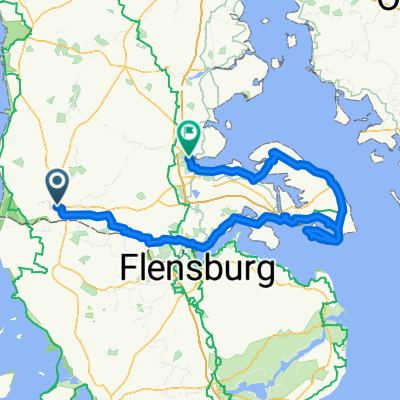
Nordseeküstenradweg
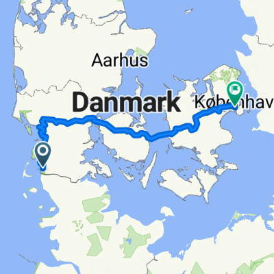
A cycling route starting in Tønder, Region South Denmark, Denmark.
Overview
About this route
Nordseeküstenradweg
<span style="color: rgb(1, 43, 76); font-family: Arial, Verdana, Helvetica, sans-serif; font-size: 14px; line-height: 18px;">Der Nordseeküsten-Radweg, das deutsche Teilstück der North Sea Cycle Route, verläuft auf einer Länge von ca. 300 km durch Schleswig-Holstein. Die Route führt am Meer entlang, durch die Orte Niebüll, Dagebüll, Husum, St. Peter-Ording, Büsum und Meldorf bis nach Brunsbüttel. Von dort geht es an der Elbe weiter bis nach Hamburg.</span>- -:--
- Duration
- 353.9 km
- Distance
- 57 m
- Ascent
- 31 m
- Descent
- ---
- Avg. speed
- ---
- Avg. speed

Route quality
Waytypes & surfaces along the route
Waytypes
Quiet road
148 km
(42 %)
Track
58.6 km
(17 %)
Surfaces
Paved
300.5 km
(85 %)
Unpaved
17.1 km
(5 %)
Asphalt
268.5 km
(76 %)
Paving stones
17.3 km
(5 %)
Continue with Bikemap
Use, edit, or download this cycling route
You would like to ride Nordseeküstenradweg or customize it for your own trip? Here is what you can do with this Bikemap route:
Free features
- Save this route as favorite or in collections
- Copy & plan your own version of this route
- Sync your route with Garmin or Wahoo
Premium features
Free trial for 3 days, or one-time payment. More about Bikemap Premium.
- Navigate this route on iOS & Android
- Export a GPX / KML file of this route
- Create your custom printout (try it for free)
- Download this route for offline navigation
Discover more Premium features.
Get Bikemap PremiumFrom our community
Other popular routes starting in Tønder
 Danemark
- Distance
- 698.2 km
- Ascent
- 488 m
- Descent
- 484 m
- Location
- Tønder, Region South Denmark, Denmark
 Vestkystruten
- Distance
- 563.5 km
- Ascent
- 1,002 m
- Descent
- 1,003 m
- Location
- Tønder, Region South Denmark, Denmark
 2023 v1
- Distance
- 586.9 km
- Ascent
- 1,247 m
- Descent
- 1,250 m
- Location
- Tønder, Region South Denmark, Denmark
 From Højer to Åbenrå
- Distance
- 113.7 km
- Ascent
- 397 m
- Descent
- 370 m
- Location
- Tønder, Region South Denmark, Denmark
 Traversée danemark
- Distance
- 414.9 km
- Ascent
- 300 m
- Descent
- 299 m
- Location
- Tønder, Region South Denmark, Denmark
 Tønder to Åbenrå
- Distance
- 180.5 km
- Ascent
- 855 m
- Descent
- 848 m
- Location
- Tønder, Region South Denmark, Denmark
 Koldin Niebul
- Distance
- 85.6 km
- Ascent
- 19 m
- Descent
- 18 m
- Location
- Tønder, Region South Denmark, Denmark
 Grenzroute - Nord-Ostsee-Radweg
- Distance
- 131.5 km
- Ascent
- 339 m
- Descent
- 336 m
- Location
- Tønder, Region South Denmark, Denmark
Open it in the app