

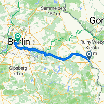
Frankfurt - Müllrose - Rosengarten - Frankfurt
A cycling route starting in Frankfurt (Oder), Brandenburg, Germany.
Overview
About this route
- -:--
- Duration
- 33.8 km
- Distance
- 120 m
- Ascent
- 108 m
- Descent
- ---
- Avg. speed
- 105 m
- Avg. speed
Route quality
Waytypes & surfaces along the route
Waytypes
Quiet road
10 km
(30 %)
Road
8 km
(24 %)
Surfaces
Paved
28.3 km
(84 %)
Unpaved
0.4 km
(1 %)
Asphalt
27.1 km
(80 %)
Paving stones
1.2 km
(3 %)
Continue with Bikemap
Use, edit, or download this cycling route
You would like to ride Frankfurt - Müllrose - Rosengarten - Frankfurt or customize it for your own trip? Here is what you can do with this Bikemap route:
Free features
- Save this route as favorite or in collections
- Copy & plan your own version of this route
- Sync your route with Garmin or Wahoo
Premium features
Free trial for 3 days, or one-time payment. More about Bikemap Premium.
- Navigate this route on iOS & Android
- Export a GPX / KML file of this route
- Create your custom printout (try it for free)
- Download this route for offline navigation
Discover more Premium features.
Get Bikemap PremiumFrom our community
Other popular routes starting in Frankfurt (Oder)
 Frankfurt Oder schönes Umland
- Distance
- 60.9 km
- Ascent
- 175 m
- Descent
- 172 m
- Location
- Frankfurt (Oder), Brandenburg, Germany
 Duża Helena
- Distance
- 39.4 km
- Ascent
- 140 m
- Descent
- 140 m
- Location
- Frankfurt (Oder), Brandenburg, Germany
 adfc Sternfahrt 2013 / 12. Route Frankfurt (Oder)
- Distance
- 111.5 km
- Ascent
- 158 m
- Descent
- 179 m
- Location
- Frankfurt (Oder), Brandenburg, Germany
 Frankfurt "Große Acht"
- Distance
- 49.5 km
- Ascent
- 167 m
- Descent
- 174 m
- Location
- Frankfurt (Oder), Brandenburg, Germany
 Mała Helena
- Distance
- 23.2 km
- Ascent
- 140 m
- Descent
- 140 m
- Location
- Frankfurt (Oder), Brandenburg, Germany
 Trip 2021-03-02
- Distance
- 51.5 km
- Ascent
- 287 m
- Descent
- 298 m
- Location
- Frankfurt (Oder), Brandenburg, Germany
 Frank.A.-Hafenstr.-Drzecin-Nowe-B.-Rybocice-Fra.
- Distance
- 41.9 km
- Ascent
- 137 m
- Descent
- 135 m
- Location
- Frankfurt (Oder), Brandenburg, Germany
 durch das Schlaubetal
- Distance
- 46.4 km
- Ascent
- 186 m
- Descent
- 186 m
- Location
- Frankfurt (Oder), Brandenburg, Germany
Open it in the app