

LF6 Vlaanderen Fietsroute
A cycling route starting in Alveringem, Flemish Region, Belgium.
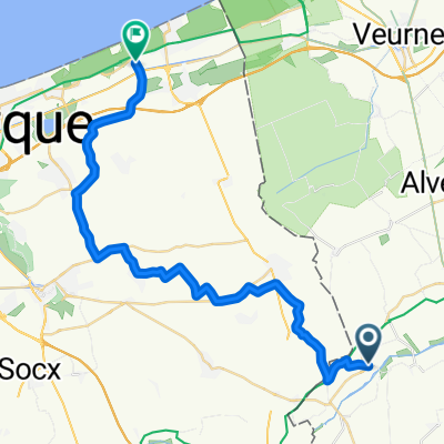
Overview
About this route
LF6 Vlaanderen Fietsroute
(cloned from route 2745767)- -:--
- Duration
- 356.1 km
- Distance
- 762 m
- Ascent
- 709 m
- Descent
- ---
- Avg. speed
- ---
- Avg. speed

Route quality
Waytypes & surfaces along the route
Waytypes
Quiet road
216.4 km
(61 %)
Road
42.1 km
(12 %)
Surfaces
Paved
230.9 km
(65 %)
Unpaved
17.5 km
(5 %)
Asphalt
158.5 km
(45 %)
Concrete
62.2 km
(17 %)
Continue with Bikemap
Use, edit, or download this cycling route
You would like to ride LF6 Vlaanderen Fietsroute or customize it for your own trip? Here is what you can do with this Bikemap route:
Free features
- Save this route as favorite or in collections
- Copy & plan your own version of this route
- Sync your route with Garmin or Wahoo
Premium features
Free trial for 3 days, or one-time payment. More about Bikemap Premium.
- Navigate this route on iOS & Android
- Export a GPX / KML file of this route
- Create your custom printout (try it for free)
- Download this route for offline navigation
Discover more Premium features.
Get Bikemap PremiumFrom our community
Other popular routes starting in Alveringem
 Beveren a/d Ijzer - Oost-Cappel - Rexpoëde - Warhem - Hondschoote - Leisele 18jul23
- Distance
- 26.6 km
- Ascent
- 55 m
- Descent
- 55 m
- Location
- Alveringem, Flemish Region, Belgium
 Beveren-Zuytcoote.gpx
- Distance
- 32.1 km
- Ascent
- 8 m
- Descent
- 14 m
- Location
- Alveringem, Flemish Region, Belgium
 polinkhove - 43.2
- Distance
- 43.2 km
- Ascent
- 72 m
- Descent
- 72 m
- Location
- Alveringem, Flemish Region, Belgium
 LF6 Vl Fietsroute
- Distance
- 563.5 km
- Ascent
- 2,550 m
- Descent
- 2,552 m
- Location
- Alveringem, Flemish Region, Belgium
 pollinkhove-brakel.parike bivak-112km
- Distance
- 111.7 km
- Ascent
- 456 m
- Descent
- 390 m
- Location
- Alveringem, Flemish Region, Belgium
 20160622_Heen.gpx
- Distance
- 30.4 km
- Ascent
- 8 m
- Descent
- 14 m
- Location
- Alveringem, Flemish Region, Belgium
 20160622_094445.gpx
- Distance
- 32.7 km
- Ascent
- 5 m
- Descent
- 10 m
- Location
- Alveringem, Flemish Region, Belgium
 Avondrit: Oost-Cappel - Rexpoëde - Killem - Hondschoote - Houtem
- Distance
- 27.3 km
- Ascent
- 54 m
- Descent
- 63 m
- Location
- Alveringem, Flemish Region, Belgium
Open it in the app