

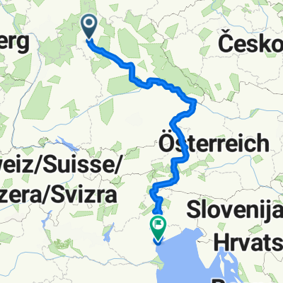
Unterpleichfeld - Ochsenfurt - Creglingen - Crailsheim - Ellwangen
A cycling route starting in Unterpleichfeld, Bavaria, Germany.
Overview
About this route
Dies ist die 1. Etappe meiner Sommer-Radltour durch Süddeutschland. Die Route führt über Landstrassen, größtenteils asphaltierten oder betonierten Feld- bzw. Radwegen, es kommen aber auch grob geschotterte Feldwege vor.
1. Etappe: Unterpleichfeld - Ellwangen 2. Etappe: Ellwangen - Biberach a. d. Riß 3. Etappe: Biberach a. d. Riß - Ertlofstal 4. Etappe: Ertlofstal - Hopferau 5. Etappe: Hopferau - Augsburg 6. Etappe: Augsburg - Donauwörth 7. Etappe: Donauwörth - Feuchtwangen 8. Etappe: Feuchtwangen - Grünsfeld 9. Etappe: Grünsfeld - Unterpleichfeld- -:--
- Duration
- 131.9 km
- Distance
- 563 m
- Ascent
- 406 m
- Descent
- ---
- Avg. speed
- ---
- Avg. speed
Route quality
Waytypes & surfaces along the route
Waytypes
Busy road
34.8 km
(26 %)
Road
28.2 km
(21 %)
Surfaces
Paved
114.6 km
(87 %)
Unpaved
2.2 km
(2 %)
Asphalt
104.8 km
(79 %)
Paved (undefined)
9.3 km
(7 %)
Continue with Bikemap
Use, edit, or download this cycling route
You would like to ride Unterpleichfeld - Ochsenfurt - Creglingen - Crailsheim - Ellwangen or customize it for your own trip? Here is what you can do with this Bikemap route:
Free features
- Save this route as favorite or in collections
- Copy & plan your own version of this route
- Sync your route with Garmin or Wahoo
Premium features
Free trial for 3 days, or one-time payment. More about Bikemap Premium.
- Navigate this route on iOS & Android
- Export a GPX / KML file of this route
- Create your custom printout (try it for free)
- Download this route for offline navigation
Discover more Premium features.
Get Bikemap PremiumFrom our community
Other popular routes starting in Unterpleichfeld
 Unterpleichfeld - Mühlhausen - Maidbronn - Rimpar - Oberdürrbach - Unterdürrbach - Zell
- Distance
- 20.6 km
- Ascent
- 207 m
- Descent
- 310 m
- Location
- Unterpleichfeld, Bavaria, Germany
 Unterpleichfeld-Zell-Winterroute
- Distance
- 17.5 km
- Ascent
- 128 m
- Descent
- 230 m
- Location
- Unterpleichfeld, Bavaria, Germany
 Unterpleichfeld-Kreuzberg
- Distance
- 93.1 km
- Ascent
- 1,332 m
- Descent
- 688 m
- Location
- Unterpleichfeld, Bavaria, Germany
 Unterpleichfeld - Zell
- Distance
- 18.1 km
- Ascent
- 108 m
- Descent
- 214 m
- Location
- Unterpleichfeld, Bavaria, Germany
 Unterpleichfeld - Grammschatzer Wald
- Distance
- 51.8 km
- Ascent
- 416 m
- Descent
- 420 m
- Location
- Unterpleichfeld, Bavaria, Germany
 Unterpleichfeld-Volkach
- Distance
- 46.3 km
- Ascent
- 247 m
- Descent
- 247 m
- Location
- Unterpleichfeld, Bavaria, Germany
 Trainingsrunde Fahrradwege
- Distance
- 57 km
- Ascent
- 211 m
- Descent
- 211 m
- Location
- Unterpleichfeld, Bavaria, Germany
 Unterpleichfeld - Venedig
- Distance
- 1,017.2 km
- Ascent
- 2,995 m
- Descent
- 3,262 m
- Location
- Unterpleichfeld, Bavaria, Germany
Open it in the app