
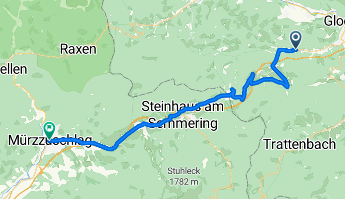
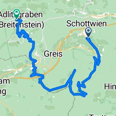
p17 Semmeringpass
A cycling route starting in Schottwien, Lower Austria, Austria.
Overview
About this route
Semmeringpass 984 m n.p.m.
Przjechałem 24.06.2014 - z Aue do Mürzzuschlag- -:--
- Duration
- 24.5 km
- Distance
- 453 m
- Ascent
- 320 m
- Descent
- ---
- Avg. speed
- ---
- Avg. speed

Route quality
Waytypes & surfaces along the route
Waytypes
Busy road
21.2 km
(87 %)
Access road
1.2 km
(5 %)
Surfaces
Paved
17.4 km
(71 %)
Unpaved
0.4 km
(2 %)
Asphalt
17.3 km
(71 %)
Ground
0.3 km
(1 %)
Route highlights
Points of interest along the route

Point of interest after 7 km
23.06.2014 biwak na przełęczy Semmering

Point of interest after 10.5 km
24.06.2014 Semmeringpass 984 m n.p.m.
Continue with Bikemap
Use, edit, or download this cycling route
You would like to ride p17 Semmeringpass or customize it for your own trip? Here is what you can do with this Bikemap route:
Free features
- Save this route as favorite or in collections
- Copy & plan your own version of this route
- Sync your route with Garmin or Wahoo
Premium features
Free trial for 3 days, or one-time payment. More about Bikemap Premium.
- Navigate this route on iOS & Android
- Export a GPX / KML file of this route
- Create your custom printout (try it for free)
- Download this route for offline navigation
Discover more Premium features.
Get Bikemap PremiumFrom our community
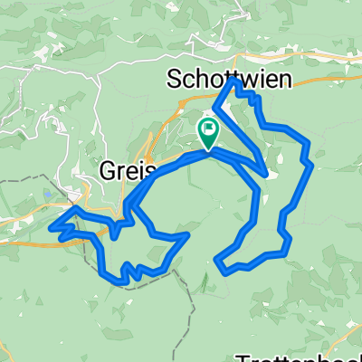
Other popular routes starting in Schottwien
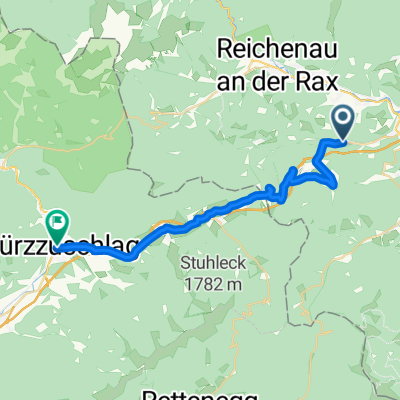
 Track 02-May-20 02:38
- Distance
- 27.2 km
- Ascent
- 1,440 m
- Descent
- 1,442 m
- Location
- Schottwien, Lower Austria, Austria
 p17 Semmeringpass
- Distance
- 24.5 km
- Ascent
- 453 m
- Descent
- 320 m
- Location
- Schottwien, Lower Austria, Austria
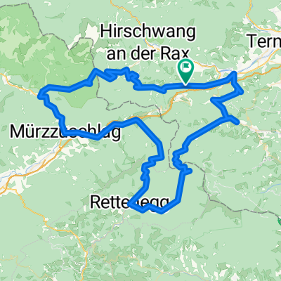
 2 Pässe
- Distance
- 70.4 km
- Ascent
- 2,296 m
- Descent
- 2,327 m
- Location
- Schottwien, Lower Austria, Austria
 Göstritz 85 nach L136 29
- Distance
- 23.9 km
- Ascent
- 1,004 m
- Descent
- 903 m
- Location
- Schottwien, Lower Austria, Austria
 Hauptstraße 29, Schottwien nach Göstritz 85
- Distance
- 1 km
- Ascent
- 31 m
- Descent
- 0 m
- Location
- Schottwien, Lower Austria, Austria
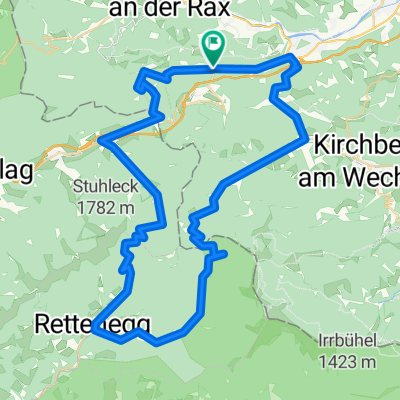
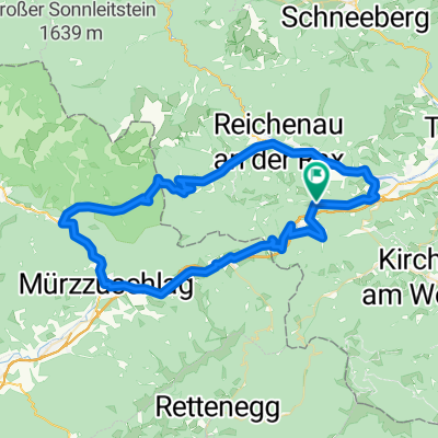 Gloggnitz-Kapellen-Raxen-Gloggnitz
- Distance
- 67.5 km
- Ascent
- 946 m
- Descent
- 948 m
- Location
- Schottwien, Lower Austria, Austria
 Gloggnitz rocks
- Distance
- 109.8 km
- Ascent
- 2,101 m
- Descent
- 2,129 m
- Location
- Schottwien, Lower Austria, Austria
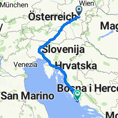 Sonntal 34–38, Schottwien nach Mirka Zore 12, Vodice
- Distance
- 787.6 km
- Ascent
- 15,466 m
- Descent
- 16,080 m
- Location
- Schottwien, Lower Austria, Austria
Open it in the app