Premium Badge Download on the App Store Get it on Google Play Turn-by-turn Navigation Offline Maps Bike Type Optimized Routing Premium Maps Custom Bike Computer Export Routes Route Previews Fall Detection Premium Support

Cycling Route in Sants-Montjuïc, Catalonia, Spain

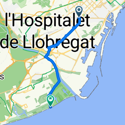
Recorrido GFNY Barcelona.

0
Open this route in the Bikemap app

Open this route in the Bikemap app

Open this route in Bikemap Web

Open this route in Bikemap Web

155 km
Distance
1089 m
Ascent
1087 m
Descent
-:-- h
Duration
-- km/h
Avg. Speed
--- m
Max. Elevation

About This Route

Perfil no muy accidentado pero que puede llegar a ser duro dependiendo del ritmo que se imponga , de la dirección del viento y del número de componentes de la grupeta. los últimos kilómetros ( a partir de Sitges ) se pueden hacer muy largo y nos hemos cebado en exceso . la última subida a Montjuic , es la estocada final a nuestras ya sufridas piernas.

This cycling route is ideal for: Road bike

You will cycle on the following surfaces: Paved

Customize this cycling route with the Bikemap route planner.

Make it yours!

Did you know? You can use this route as a template in our cycling route planner if you don't wish to start from scratch. Customize it based on your needs to plan your perfect cycling tour.

Open it in the app