
Blythe - Parker, Cattail Cove State Park
A cycling route starting in Ehrenberg, Arizona, United States of America.
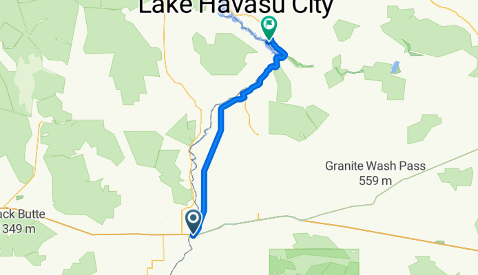
Overview
About this route
- Tag mit 5. Tag Pause am StatePark
- -:--
- Duration
- 110.8 km
- Distance
- 302 m
- Ascent
- 245 m
- Descent
- ---
- Avg. speed
- ---
- Avg. speed
Route quality
Waytypes & surfaces along the route
Waytypes
Busy road
52.9 km
(48 %)
Cycleway
30.8 km
(28 %)
Surfaces
Paved
77.5 km
(70 %)
Unpaved
0.4 km
(<1 %)
Asphalt
72.2 km
(65 %)
Concrete
4 km
(4 %)
Continue with Bikemap
Use, edit, or download this cycling route
You would like to ride Blythe - Parker, Cattail Cove State Park or customize it for your own trip? Here is what you can do with this Bikemap route:
Free features
- Save this route as favorite or in collections
- Copy & plan your own version of this route
- Sync your route with Garmin or Wahoo
Premium features
Free trial for 3 days, or one-time payment. More about Bikemap Premium.
- Navigate this route on iOS & Android
- Export a GPX / KML file of this route
- Create your custom printout (try it for free)
- Download this route for offline navigation
Discover more Premium features.
Get Bikemap PremiumFrom our community
Other popular routes starting in Ehrenberg
 RAAM 3 Blythe - Wickenburg
- Distance
- 238.1 km
- Ascent
- 749 m
- Descent
- 126 m
- Location
- Ehrenberg, Arizona, United States of America
 COAST TO COAST STAGE 4
- Distance
- 207 km
- Ascent
- 763 m
- Descent
- 587 m
- Location
- Ehrenberg, Arizona, United States of America
 Blythe - Parker, Cattail Cove State Park
- Distance
- 110.8 km
- Ascent
- 302 m
- Descent
- 245 m
- Location
- Ehrenberg, Arizona, United States of America
 4.Tag C2C Blythe, CA - Congress, AZ
- Distance
- 175.7 km
- Ascent
- 960 m
- Descent
- 213 m
- Location
- Ehrenberg, Arizona, United States of America
 Summer trip
- Distance
- 2.6 km
- Ascent
- 4 m
- Descent
- 5 m
- Location
- Ehrenberg, Arizona, United States of America
Open it in the app